|
search place name
|
||
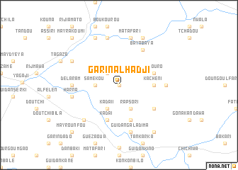
Garin Alhadji (Zinder, Niger)Garin Alhadji is a town in the Zinder region of Niger. An overview map of the region around Garin Alhadji is displayed below.
regional and 3d topo map of Garin Alhadji, Niger ::
Garin Alhadji airports ::
The nearest airport is ZND - Zinder, located 79.7 km south east of Garin Alhadji.
Other airports nearby include MFG - Maradi (178.6 km south west), Nearby towns ::
Guidan Sèrkin Dawa (0.0km north) //
Doutchi Koura (2.6km north west) //
Samékou (3.6km west) //
Kada II (4.1km south west) //
Rafin Malam (4.1km south east) //
Rapsori (4.1km south east) //
Kachéni (5.4km east) //
Kada I (5.8km south) //
Guidan Sèrkin Makyéra (5.8km south) //
Gogouro (5.7km east) //
Garin Zigao (6.5km south east) //
Baya Baya (6.6km north east) //
Délaram (7.2km west) //
Balma (7.2km east) //
Harna (7.4km west) //
Garin Toudou (7.6km north) //
Guidan Galadima (7.6km south) //
Matafari (7.6km north) //
Guidan Kamey (7.7km south west) //
Rijia Kikila (8.1km north west) //
Djadjaé (8.2km north west) //
Jilmiram Toudou (8.2km north east) //
Jilmiram Kori (8.2km north east) //
Falénko Ila (9.2km south east) //
May Rounfou (10.3km south west) //
May Rakoumi (10.3km north west) //
[all distances 'as the bird flies' and approximate] 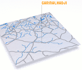 Places with similar names to Garin Alhadji, Niger :: Disclaimer :: Information on this page comes without warranty of any kind |
||
|
Where is Garin Alhadji? Elevation and coordinates ::
Latitude (lat): 14°21'0"N Longitude (lon): 8°32'0"E
Elevation (approx.): 452m (map arrows pan, magnifying glasses zoom) |
||
|
Visiting Garin Alhadji? Hotel/Accommodation ::
Book a hotel in Garin Alhadji Travel Guide ::
Buy a travel guide for Niger rental cars ::
car rental offers GPS waypoint ::
download a GPX waypoint (PoI) of Garin Alhadji for your GPS receiver
|
||