|
search place name
|
||
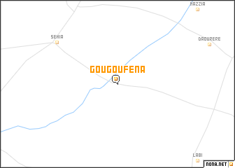
Gougoufena (Tahoua, Niger)Gougoufena is a town in the Tahoua region of Niger. An overview map of the region around Gougoufena is displayed below.
regional and 3d topo map of Gougoufena, Niger ::
Gougoufena airports ::
The nearest airport is THZ - Tahoua, located 89.6 km north east of Gougoufena.
Other airports nearby include SKO - Sokoto Sadiq Abubakar Iii Intl (147.4 km south), Nearby towns ::
[all distances 'as the bird flies' and approximate]  Places with similar names to Gougoufena, Niger ::
// Ćukovina (BA)
// Kokovina (BA)
// Kukovina (BA)
// Cacaven (TP)
// Qawqafīnah (SY)
// Qūqfīn (SY)
// C. Cufene (MZ)
// Kokovino (RU)
// Kaggevinne (BE)
// Čačvina (HR)
Disclaimer :: Information on this page comes without warranty of any kind |
||
|
Where is Gougoufena? Elevation and coordinates ::
Latitude (lat): 14°11'35"N Longitude (lon): 4°49'6"E
Elevation (approx.): 278m (map arrows pan, magnifying glasses zoom) |
||
|
Visiting Gougoufena? Hotel/Accommodation ::
Book a hotel in Gougoufena Travel Guide ::
Buy a travel guide for Niger rental cars ::
car rental offers GPS waypoint ::
download a GPX waypoint (PoI) of Gougoufena for your GPS receiver
|
||