|
search place name
|
||
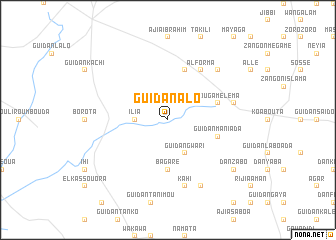
Guidan Alo (Maradi, Niger)Guidan Alo is a town in the Maradi region of Niger. An overview map of the region around Guidan Alo is displayed below.
regional and 3d topo map of Guidan Alo, Niger ::
Guidan Alo airports ::
The nearest airport is MFG - Maradi, located 88.3 km south of Guidan Alo.
Other airports nearby include THZ - Tahoua (207.7 km west), ZND - Zinder (211.5 km east), SKO - Sokoto Sadiq Abubakar Iii Intl (255.7 km south west), Nearby towns ::
Mato (2.6km north east) //
Ilia (3.6km west) //
Guidan Gwari (4.1km south east) //
Bagaré (5.6km south) //
May Dawa (5.8km north) //
Louga Méléma (5.7km east) //
Guidan Mani Ada (5.7km east) //
Alforma (6.6km north east) //
Guidan Ali (7.4km east) //
Kahi (7.6km south) //
Amagano (7.4km east) //
Dan Kahi (7.7km north east) //
Bajadani (8.2km south east) //
Dan Zabo (9.1km south east) //
[all distances 'as the bird flies' and approximate] 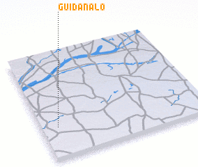 Places with similar names to Guidan Alo, Niger ::
Disclaimer :: Information on this page comes without warranty of any kind |
||
|
Where is Guidan Alo? Elevation and coordinates ::
Latitude (lat): 14°18'0"N Longitude (lon): 7°6'0"E
Elevation (approx.): 378m (map arrows pan, magnifying glasses zoom) |
||
|
Visiting Guidan Alo? Hotel/Accommodation ::
Book a hotel in Guidan Alo Travel Guide ::
Buy a travel guide for Niger rental cars ::
car rental offers GPS waypoint ::
download a GPX waypoint (PoI) of Guidan Alo for your GPS receiver
|
||