|
search place name
|
||
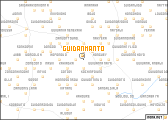
Guidan Manto (Maradi, Niger)Guidan Manto is a town in the Maradi region of Niger. An overview map of the region around Guidan Manto is displayed below.
regional and 3d topo map of Guidan Manto, Niger ::
Guidan Manto airports ::
The nearest airport is MFG - Maradi, located 101.8 km south of Guidan Manto.
Other airports nearby include ZND - Zinder (191.0 km east), Nearby towns ::
Kitamo (1.8km west) //
Guidan Roro (1.9km north) //
Louga Bira (1.9km south) //
Soké Soké (2.6km north east) //
Soké Soké Saboa (3.7km north) //
Illio (3.7km north) //
Monguey (3.6km east) //
Kahi Aska (4.0km south west) //
Tokala (4.0km north west) //
Kochin Foura (4.1km south east) //
Guidan Moussa (4.0km south east) //
Guidan Nanaya (4.0km south east) //
Zangon Touno (5.2km north west) //
Gatari (5.2km south west) //
Makyéra (5.2km north east) //
Mofarawa (5.4km west) //
Gourgoumi (5.4km east) //
Dan Malam (5.8km south) //
Guidan Oumarou (5.8km south) //
Guidan Tinda (5.8km south) //
Guidan Kané Mekahi (6.6km north west) //
Bawoli (6.5km north west) //
Dan Joumma (6.5km north east) //
Morna Sonsou (6.6km south west) //
Kato Bala (6.6km north east) //
May Rakouma (7.2km east) //
Dan Gao (7.4km west) //
Maski (7.4km west) //
Akala (7.6km north) //
[all distances 'as the bird flies' and approximate] 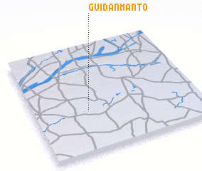 Places with similar names to Guidan Manto, Niger ::
Disclaimer :: Information on this page comes without warranty of any kind |
||
|
Where is Guidan Manto? Elevation and coordinates ::
Latitude (lat): 14°24'0"N Longitude (lon): 7°20'0"E
Elevation (approx.): 422m (map arrows pan, magnifying glasses zoom) |
||
|
Visiting Guidan Manto? Hotel/Accommodation ::
Book a hotel in Guidan Manto Travel Guide ::
Buy a travel guide for Niger rental cars ::
car rental offers GPS waypoint ::
download a GPX waypoint (PoI) of Guidan Manto for your GPS receiver
|
||