|
search place name
|
||
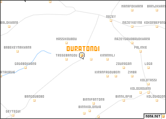
Oura Tondi (Tillabéri, Niger)Oura Tondi is a town in the Tillabéri region of Niger. An overview map of the region around Oura Tondi is displayed below.
regional and 3d topo map of Oura Tondi, Niger ::
Oura Tondi airports ::
The nearest airport is NIM - Niamey Diori Hamani, located 45.5 km south west of Oura Tondi.
Nearby towns ::
Birni Madeïzé (1.8km east) //
Tassé Bangou (3.6km west) //
Massi Koubou (5.2km north west) //
Kiran Mili (5.4km east) //
Kiran Fadoubéri (6.5km south east) //
Kiran Bilinngol (8.1km south east) //
Nazey (10.7km north east) //
[all distances 'as the bird flies' and approximate] 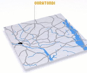 Places with similar names to Oura Tondi, Niger ::
// Ortoneda (ES)
// Orattanādu (IN)
// Ordeñita (MX)
// Ordeñita (MX)
// Ouratondi (NE)
// Orétiendi (SN)
// Oré Danté (GN)
// Orutanda (NA)
// Ouro Doundéï (CM)
Disclaimer :: Information on this page comes without warranty of any kind |
||
|
Where is Oura Tondi? Elevation and coordinates ::
Latitude (lat): 13°48'0"N Longitude (lon): 2°27'0"E
Elevation (approx.): 246m (map arrows pan, magnifying glasses zoom) |
||
|
Visiting Oura Tondi? Hotel/Accommodation ::
Book a hotel in Oura Tondi Travel Guide ::
Buy a travel guide for Niger rental cars ::
car rental offers GPS waypoint ::
download a GPX waypoint (PoI) of Oura Tondi for your GPS receiver
|
||