|
search place name
|
||
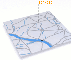
Tonkosom (Niamey, Niger)Tonkosom is a town in the Niamey region of Niger. An overview map of the region around Tonkosom is displayed below.
regional and 3d topo map of Tonkosom, Niger ::

Tonkosom airports ::
The nearest airport is NIM - Niamey Diori Hamani, located 156.2 km south of Tonkosom.
Other airports nearby include GAQ - Gao (240.6 km north west), Nearby towns ::
 Places with similar names to Tonkosom, Niger ::
// Dangssama (TD)
// Tounga Samia (NE)
// Tongsŏm (KP)
// Dongoy Samou (ML)
// Tonkassimi (ML)
// Tongsam (MM)
// Ðâng Săm (VN)
// Dang Som (VN)
// Dằng Sùm (VN)
// Ðông Sầm (VN)
Disclaimer :: Information on this page comes without warranty of any kind |
||
|
Where is Tonkosom? Elevation and coordinates ::
Latitude (lat): 14°48'0"N Longitude (lon): 1°40'0"E
Elevation (approx.): 276m (map arrows pan, magnifying glasses zoom) |
||
|
Visiting Tonkosom? Hotel/Accommodation ::
Book a hotel in Tonkosom Travel Guide ::
Buy a travel guide for Niger rental cars ::
car rental offers GPS waypoint ::
download a GPX waypoint (PoI) of Tonkosom for your GPS receiver
|
||