|
search place name
|
||
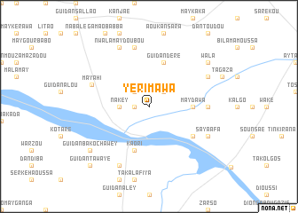
Yérimawa (Maradi, Niger)Yérimawa is a town in the Maradi region of Niger. An overview map of the region around Yérimawa is displayed below.
regional and 3d topo map of Yérimawa, Niger ::
Yérimawa airports ::
The nearest airport is MFG - Maradi, located 81.1 km south west of Yérimawa.
Other airports nearby include ZND - Zinder (136.2 km east), QUS - Gusau (225.0 km south west), KAN - Kano Mallam Aminu Intl (225.6 km south), Nearby towns ::
Digaba (1.8km west) //
Dadi Mayahi (2.6km north west) //
Mounj (2.6km north east) //
Nakey (3.6km west) //
May Dawa (5.4km east) //
Kaori (5.8km south) //
Guidan Déré (5.8km north) //
Guidan Dan Baskoré (6.5km south east) //
Dan Lalo (7.2km east) //
Dan Bouzou (7.6km north) //
Mayahi (7.5km west) //
Dan Goulbi (8.2km south west) //
Saya Afa (8.1km south east) //
Nwala Maydoubou (8.2km north west) //
Karé Daouka (8.1km north east) //
Guidan Bako Chawey (9.1km south west) //
Wala (9.1km north east) //
Guidan Tawayé (10.3km south west) //
[all distances 'as the bird flies' and approximate] 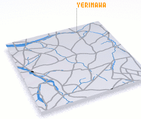
Disclaimer :: Information on this page comes without warranty of any kind |
||
|
Where is Yérimawa? Elevation and coordinates ::
Latitude (lat): 13°56'0"N Longitude (lon): 7°44'0"E
Elevation (approx.): 394m (map arrows pan, magnifying glasses zoom) |
||
|
Visiting Yérimawa? Hotel/Accommodation ::
Book a hotel in Yérimawa Travel Guide ::
Buy a travel guide for Niger rental cars ::
car rental offers GPS waypoint ::
download a GPX waypoint (PoI) of Yérimawa for your GPS receiver
|
||