|
search place name
|
||
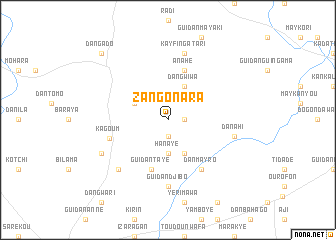
Zangon Ara (Maradi, Niger)Zangon Ara is a town in the Maradi region of Niger. An overview map of the region around Zangon Ara is displayed below.
regional and 3d topo map of Zangon Ara, Niger ::
Zangon Ara airports ::
The nearest airport is ZND - Zinder, located 112.3 km east of Zangon Ara.
Other airports nearby include MFG - Maradi (120.0 km south west), QUS - Gusau (261.5 km south west), Nearby towns ::
Wanzamay (1.8km east) //
Jimina (1.9km south) //
Hanayé (3.7km south) //
Dan Gwiwa (4.1km north east) //
Guidan Ando (4.1km south east) //
Guidan Jigo (4.0km north west) //
Anahé (5.8km north) //
Guidan Tayé (5.8km south) //
Dan Mayro (6.6km south east) //
Kagoum (6.7km west) //
Guidan Djibo (7.4km south) //
Dan Ahi (7.4km east) //
Kayfin Gatari (7.6km north) //
Guidan Boka (7.7km south west) //
Dan Gobo (8.1km south west) //
Dan Gado (10.3km north west) //
[all distances 'as the bird flies' and approximate] 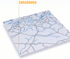 Places with similar names to Zangon Ara, Niger ::
// Zenkanur (RU)
// Sanganoro (MG)
// San Nicanor (EC)
// Sānganer (IN)
// Sāngāner (IN)
// Sangginora (ID)
// Sanganere (GH)
// Sanganare (NG)
// Sangnae-ri (KP)
// Sŏngnae-ri (KP)
Disclaimer :: Information on this page comes without warranty of any kind |
||
|
Where is Zangon Ara? Elevation and coordinates ::
Latitude (lat): 14°9'0"N Longitude (lon): 8°1'0"E
Elevation (approx.): 431m (map arrows pan, magnifying glasses zoom) |
||
|
Visiting Zangon Ara? Hotel/Accommodation ::
Book a hotel in Zangon Ara Travel Guide ::
Buy a travel guide for Niger rental cars ::
car rental offers GPS waypoint ::
download a GPX waypoint (PoI) of Zangon Ara for your GPS receiver
|
||