|
search place name
|
||
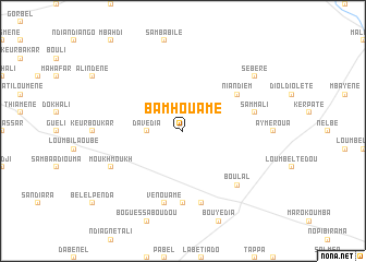
Bamhouamé (Louga, Senegal)Bamhouamé is a town in the Louga region of Senegal. An overview map of the region around Bamhouamé is displayed below.
regional and 3d topo map of Bamhouamé, Senegal ::
Bamhouamé airports ::
The nearest airport is XLS - St. Louis Saint Louis, located 102.8 km north west of Bamhouamé.
Other airports nearby include KLC - Kaolack (150.4 km south), DKR - Dakar Leopold Sedar Senghor Intl (206.9 km south west), Nearby towns ::
Davédia (3.6km west) //
Niandiem (6.5km north east) //
Bemba Badiane (7.4km south) //
Vénouamé (7.6km south) //
Sammali (7.4km east) //
Bouliérobé (7.6km south) //
Boulal (7.7km south east) //
Moukh Moukh (8.0km south west) //
Sébère (9.1km north east) //
[all distances 'as the bird flies' and approximate] 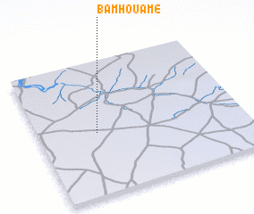
Disclaimer :: Information on this page comes without warranty of any kind |
||
|
Where is Bamhouamé? Elevation and coordinates ::
Latitude (lat): 15°28'0"N Longitude (lon): 15°43'0"W
Elevation (approx.): 55m (map arrows pan, magnifying glasses zoom) |
||
|
Visiting Bamhouamé? Hotel/Accommodation ::
Book a hotel in Bamhouamé Travel Guide ::
Buy a travel guide for Senegal rental cars ::
car rental offers GPS waypoint ::
download a GPX waypoint (PoI) of Bamhouamé for your GPS receiver
|
||