|
search place name
|
||
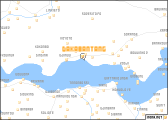
Dakabantang (Kolda, Senegal)Dakabantang is a town in the Kolda region of Senegal. An overview map of the region around Dakabantang is displayed below.
regional and 3d topo map of Dakabantang, Senegal ::
Dakabantang airports ::
The nearest airport is ZIG - Ziguinchor, located 58.2 km west of Dakabantang.
Other airports nearby include BXO - Bissau Oswaldo Vieira Intl (80.5 km south), CSK - Cap Skiring (110.7 km west), BJL - Banjul Intl (126.3 km north west), KLC - Kaolack (172.4 km north), Nearby towns ::
Manékounda (1.4km north) //
Kintingourou (1.9km east) //
Sankadji (2.6km north west) //
Tintinkome (3.8km west) //
Djirédi (3.9km west) //
Voyoto (5.2km north west) //
Teranbassi (6.2km south) //
Kinndiri (6.5km east) //
Bondali (6.7km south) //
Tindaba (6.6km east) //
Krissime (7.4km south) //
Djimassar (7.6km south east) //
Madina (7.5km east) //
Simbandi Balant (7.7km south west) //
Boudhié Samine (7.7km north east) //
Tiare (8.0km south east) //
Adioufa (8.2km south) //
Farankounda (8.5km east) //
Boukaour (8.9km south) //
Diattakounda (8.8km south east) //
Djibanar (10.5km south west) //
Hamdalaye (11.4km south east) //
[all distances 'as the bird flies' and approximate] 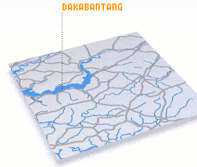 Places with similar names to Dakabantang, Senegal :: Disclaimer :: Information on this page comes without warranty of any kind |
||
|
Where is Dakabantang? Elevation and coordinates ::
Latitude (lat): 12°37'0"N Longitude (lon): 15°45'0"W
(map arrows pan, magnifying glasses zoom) |
||
|
Visiting Dakabantang? Hotel/Accommodation ::
Book a hotel in Dakabantang Travel Guide ::
Buy a travel guide for Senegal rental cars ::
car rental offers GPS waypoint ::
download a GPX waypoint (PoI) of Dakabantang for your GPS receiver
|
||