|
search place name
|
||
Gouindiaye (Thiès, Senegal)Gouindiaye is a town in the Thiès region of Senegal. An overview map of the region around Gouindiaye is displayed below.
regional and 3d topo map of Gouindiaye, Senegal ::

Gouindiaye airports ::
The nearest airport is KLC - Kaolack, located 86.4 km south east of Gouindiaye.
Other airports nearby include DKR - Dakar Leopold Sedar Senghor Intl (94.2 km west), XLS - St. Louis Saint Louis (150.4 km north), BJL - Banjul Intl (150.7 km south), Nearby towns ::
Diarga (1.9km south) //
Bonboye (3.7km south) //
Dieyène (3.6km west) //
Kaba (3.7km north) //
Bafaye (3.6km east) //
Mbéwane (4.0km south west) //
Sangaye (4.0km north east) //
Diokoul (5.2km north west) //
Yaye (5.2km south east) //
Guénes (5.6km south) //
Bofaye (5.8km south) //
Niet (5.8km north) //
Ndionguène (5.8km north) //
Tiatiao (5.8km north) //
Molor (5.7km west) //
Ndouf (5.7km west) //
Taleg (5.7km east) //
Dangalma (6.5km north east) //
Dingler (6.5km north west) //
Dondol (6.6km south east) //
Sassal (7.6km south) //
Ndondol (7.6km north) //
Réfane Kao (7.6km north) //
Diokoul (7.7km north west) //
Dialo (8.1km north east) //
Dioufougne Pal (8.2km north west) //
Diédègne (8.2km south east) //
Dérep (8.2km north east) //
Diamane (9.2km south east) //
[all distances 'as the bird flies' and approximate] 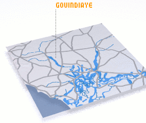 Places with similar names to Gouindiaye, Senegal ::
// Kendya (RU)
// Konduya (RU)
// Cundiyo (US)
// Kandaye (BF)
// Kondaya (BF)
// Gandaye I (TD)
// Gandaye II (TD)
// Kondya (IN)
// Kannattiya (LK)
// Gandiaye (SN)
Disclaimer :: Information on this page comes without warranty of any kind |
||
|
Where is Gouindiaye? Elevation and coordinates ::
Latitude (lat): 14°42'0"N Longitude (lon): 16°37'0"W
Elevation (approx.): 21m (map arrows pan, magnifying glasses zoom) |
||
|
Visiting Gouindiaye? Hotel/Accommodation ::
Book a hotel in Gouindiaye Travel Guide ::
Buy a travel guide for Senegal rental cars ::
car rental offers GPS waypoint ::
download a GPX waypoint (PoI) of Gouindiaye for your GPS receiver
|
||