|
search place name
|
||
Keur Alé (Diourbel, Senegal)Keur Alé is a town in the Diourbel region of Senegal. An overview map of the region around Keur Alé is displayed below.
regional and 3d topo map of Keur Alé, Senegal ::

Keur Alé airports ::
The nearest airport is KLC - Kaolack, located 80.7 km south east of Keur Alé.
Other airports nearby include DKR - Dakar Leopold Sedar Senghor Intl (115.7 km west), XLS - St. Louis Saint Louis (140.3 km north), BJL - Banjul Intl (161.9 km south), Nearby towns ::
Naké (0.0km north) //
Boungoye (1.8km east) //
Goundiogou (2.6km south west) //
Sar (2.6km south west) //
Diembo (2.6km north west) //
Ndimb (2.6km north east) //
Darou (4.0km south west) //
Gokaré Sao (4.0km north west) //
Badié Kad (4.1km south east) //
Langar Deune (4.1km north east) //
Ndiayène (5.2km north west) //
Sokanou (5.2km south east) //
Keur Daour Diong (5.4km west) //
Ngogom (5.6km south) //
Mbèye (5.7km east) //
Keur Samba Gaye (5.7km west) //
Keur Sel (5.8km south) //
Ndiom Gaye (5.7km west) //
Gati (5.8km south) //
Taoua Gou (6.6km south west) //
Taoua (6.6km south west) //
Ndieng (6.5km north west) //
Tiouko (6.6km south east) //
Palèle (7.4km south) //
Kouli (7.6km south) //
Ndiakala (7.4km west) //
Mbousso (7.4km west) //
Paté Sek (7.6km north) //
Saniakor (7.6km north) //
[all distances 'as the bird flies' and approximate] 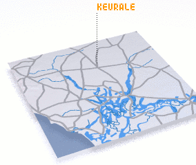 Places with similar names to Keur Alé, Senegal ::
Disclaimer :: Information on this page comes without warranty of any kind |
||
|
Where is Keur Alé? Elevation and coordinates ::
Latitude (lat): 14°47'0"N Longitude (lon): 16°25'0"W
Elevation (approx.): 35m (map arrows pan, magnifying glasses zoom) |
||
|
Visiting Keur Alé? Hotel/Accommodation ::
Book a hotel in Keur Alé Travel Guide ::
Buy a travel guide for Senegal rental cars ::
car rental offers GPS waypoint ::
download a GPX waypoint (PoI) of Keur Alé for your GPS receiver
|
||