|
search place name
|
||
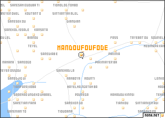
Mandoufou Fodé (Kolda, Senegal)Mandoufou Fodé is a town in the Kolda region of Senegal. An overview map of the region around Mandoufou Fodé is displayed below.
regional and 3d topo map of Mandoufou Fodé, Senegal ::
Mandoufou Fodé airports ::
The nearest airport is TUD - Tambacounda, located 85.3 km north of Mandoufou Fodé.
Other airports nearby include KGG - Kedougou (192.4 km east), BXO - Bissau Oswaldo Vieira Intl (224.5 km south west), BXE - Bakel (257.1 km north east), LEK - Labe (259.0 km south east), Nearby towns ::
Tiévébessi (1.8km east) //
Bonkonto (1.9km north) //
Tiniyel (1.9km north) //
Mandoufou Kali (2.6km south east) //
Sintiân Paté (2.6km south east) //
Saré Madla (5.2km south west) //
Mounti (5.8km south) //
Pakinia Yerba (5.7km east) //
Mamboya (5.8km south) //
Pakinia (7.2km east) //
Mayel Iesso (7.4km south) //
Mayel Bao (7.4km south) //
Mayel Mangatamba (7.4km south) //
Saré Diabé (7.2km west) //
Amanatoulaye (7.5km east) //
Darou Hidjiratou (7.5km east) //
Diandian (7.6km north) //
Fass (8.1km north east) //
[all distances 'as the bird flies' and approximate] 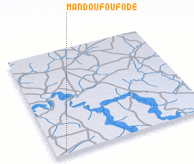 Places with similar names to Mandoufou Fodé, Senegal ::
// Montfavet (FR)
Disclaimer :: Information on this page comes without warranty of any kind |
||
|
Where is Mandoufou Fodé? Elevation and coordinates ::
Latitude (lat): 13°1'0"N Longitude (lon): 13°56'0"W
Elevation (approx.): 58m (map arrows pan, magnifying glasses zoom) |
||
|
Visiting Mandoufou Fodé? Hotel/Accommodation ::
Book a hotel in Mandoufou Fodé Travel Guide ::
Buy a travel guide for Senegal rental cars ::
car rental offers GPS waypoint ::
download a GPX waypoint (PoI) of Mandoufou Fodé for your GPS receiver
|
||