|
search place name
|
||
Ndiaré Diéri (Louga, Senegal)Ndiaré Diéri is a town in the Louga region of Senegal. An overview map of the region around Ndiaré Diéri is displayed below.
regional and 3d topo map of Ndiaré Diéri, Senegal ::

Ndiaré Diéri airports ::
The nearest airport is XLS - St. Louis Saint Louis, located 107.4 km north west of Ndiaré Diéri.
Other airports nearby include KLC - Kaolack (127.6 km south), DKR - Dakar Leopold Sedar Senghor Intl (186.4 km west), BJL - Banjul Intl (232.0 km south), Nearby towns ::
Kerfari (1.9km south) //
Galenn Ndiououndjou (2.6km north east) //
Lotchi Diamboye (3.6km west) //
Loumbel Bissinaré (4.0km south east) //
Djiké (4.0km south west) //
Sadi Ara (4.1km north east) //
Détali (5.2km south west) //
Kertiédossira (5.1km north east) //
Alouniang (5.1km north east) //
Ndjougoup (5.4km east) //
Aladji Ali (5.4km west) //
Nganado Boguel (5.8km north) //
Bobori (5.7km west) //
Makadou (7.4km west) //
Dabènel (8.2km north east) //
Taïf Nganado (9.1km north west) //
Makinn (9.1km south west) //
[all distances 'as the bird flies' and approximate] 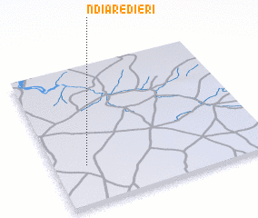 Places with similar names to Ndiaré Diéri, Senegal ::
// New Territory (US)
// Nedratra (ET)
Disclaimer :: Information on this page comes without warranty of any kind |
||
|
Where is Ndiaré Diéri? Elevation and coordinates ::
Latitude (lat): 15°17'0"N Longitude (lon): 15°51'0"W
Elevation (approx.): 50m (map arrows pan, magnifying glasses zoom) |
||
|
Visiting Ndiaré Diéri? Hotel/Accommodation ::
Book a hotel in Ndiaré Diéri Travel Guide ::
Buy a travel guide for Senegal rental cars ::
car rental offers GPS waypoint ::
download a GPX waypoint (PoI) of Ndiaré Diéri for your GPS receiver
|
||