|
search place name
|
||
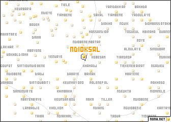
Ndiok Sal (Louga, Senegal)Ndiok Sal is a town in the Louga region of Senegal. An overview map of the region around Ndiok Sal is displayed below.
regional and 3d topo map of Ndiok Sal, Senegal ::
Ndiok Sal airports ::
The nearest airport is XLS - St. Louis Saint Louis, located 39.5 km north west of Ndiok Sal.
Other airports nearby include DKR - Dakar Leopold Sedar Senghor Intl (173.2 km south west), KLC - Kaolack (179.1 km south), Nearby towns ::
Mboubène Mbatar (1.0km north west) //
Yermandé Dieng (1.5km north) //
Tiékène Mbatar (1.6km north) //
Mbatar (1.9km north east) //
Khamadj (2.5km south east) //
Afé Niang (2.5km north) //
Kébé Sam (3.0km east) //
Ndiobène Mbatar (3.1km north) //
Darou Salam (3.1km north) //
Merina Palèm (3.5km north) //
Keur Matar Mbaye (3.7km north west) //
Baïnak (4.2km south) //
Affé (4.2km west) //
Massar (4.5km north east) //
Ngueune Sar (4.7km south west) //
Dabaye (4.7km south west) //
Afé Niang (4.7km north west) //
Khelkom (4.7km west) //
Bari (5.3km north) //
Massar Teug (5.8km north) //
Kadiar (5.8km north west) //
Massar Diop (6.0km north east) //
Yamane Sek (6.2km north) //
Keur Mayoro (6.3km south) //
Yerwaye (6.2km west) //
Palène Fal (6.6km south east) //
Keur Paté (6.5km east) //
Kadiar Peul (6.8km north west) //
Diadièr (7.4km north) //
[all distances 'as the bird flies' and approximate] 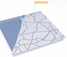 Places with similar names to Ndiok Sal, Senegal ::
// Ntokossiala (CG)
Disclaimer :: Information on this page comes without warranty of any kind |
||
|
Where is Ndiok Sal? Elevation and coordinates ::
Latitude (lat): 15°45'10"N Longitude (lon): 16°15'39"W
Elevation (approx.): 31m (map arrows pan, magnifying glasses zoom) |
||
|
Visiting Ndiok Sal? Hotel/Accommodation ::
Book a hotel in Ndiok Sal Travel Guide ::
Buy a travel guide for Senegal rental cars ::
car rental offers GPS waypoint ::
download a GPX waypoint (PoI) of Ndiok Sal for your GPS receiver
|
||