|
search place name
|
||
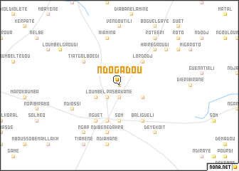
Ndogadou (Louga, Senegal)Ndogadou is a town in the Louga region of Senegal. An overview map of the region around Ndogadou is displayed below.
regional and 3d topo map of Ndogadou, Senegal ::
Ndogadou airports ::
The nearest airport is XLS - St. Louis Saint Louis, located 128.8 km north west of Ndogadou.
Other airports nearby include KLC - Kaolack (152.3 km south west), KED - Kaedi (226.1 km east), TUD - Tambacounda (268.4 km south east), Nearby towns ::
Ndinnguéli (0.0km north) //
Mbaène (1.9km north) //
Pas Bakane (1.9km south) //
Ndogodou (2.6km south west) //
Gouye Tédé (2.6km north west) //
Bouguérha (4.0km south west) //
Loumbel (4.0km south west) //
Léti Kobra (4.0km south east) //
Lordodj (5.1km north east) //
Som (5.6km south) //
Dara (5.8km south) //
Tiatgol Boédi (6.5km north west) //
Nguet (6.6km south west) //
Bali Guéli (6.6km south east) //
Niamina (7.6km north) //
Ndibène Dahra (7.6km south) //
Haïré Gaoudi (7.7km north east) //
Ndiossi (8.1km south west) //
Bélel Bandia (9.1km north east) //
Gassé (9.1km north east) //
Rote Éri (9.1km north east) //
Deye Koit (9.1km south east) //
Ngap (9.1km south west) //
[all distances 'as the bird flies' and approximate] 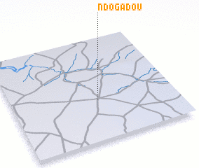 Places with similar names to Ndogadou, Senegal ::
Disclaimer :: Information on this page comes without warranty of any kind |
||
|
Where is Ndogadou? Elevation and coordinates ::
Latitude (lat): 15°24'0"N Longitude (lon): 15°28'0"W
Elevation (approx.): 34m (map arrows pan, magnifying glasses zoom) |
||
|
Visiting Ndogadou? Hotel/Accommodation ::
Book a hotel in Ndogadou Travel Guide ::
Buy a travel guide for Senegal rental cars ::
car rental offers GPS waypoint ::
download a GPX waypoint (PoI) of Ndogadou for your GPS receiver
|
||