|
search place name
|
||
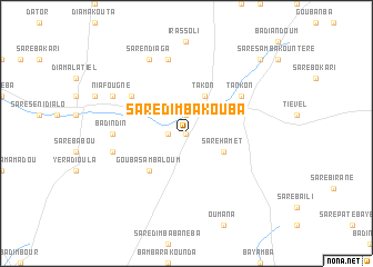
Saré Dimba Kouba (Kolda, Senegal)Saré Dimba Kouba is a town in the Kolda region of Senegal. An overview map of the region around Saré Dimba Kouba is displayed below.
regional and 3d topo map of Saré Dimba Kouba, Senegal ::
Saré Dimba Kouba airports ::
The nearest airport is ZIG - Ziguinchor, located 108.0 km south west of Saré Dimba Kouba.
Other airports nearby include KLC - Kaolack (116.3 km north west), BJL - Banjul Intl (120.2 km west), BXO - Bissau Oswaldo Vieira Intl (146.7 km south), CSK - Cap Skiring (157.6 km south west), Nearby towns ::
Saré Paté Dialo (0.0km north) //
Boussankili (1.9km north) //
Djinani II (1.8km west) //
Saré Hamet (4.1km south east) //
Banéba (4.1km north east) //
Takon (4.1km north east) //
Gouba Samba Loum (5.2km south west) //
Kolikounda (6.6km north west) //
Tankon (6.6km north east) //
Badindin (7.2km west) //
Hamdalaye I (7.6km north) //
Koutounta Ali Koli (7.5km west) //
Saré Ndiaga (8.2km north west) //
Niafougne (8.1km north west) //
Boussankili Ba (10.3km north east) //
[all distances 'as the bird flies' and approximate] 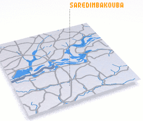 Places with similar names to Saré Dimba Kouba, Senegal :: Disclaimer :: Information on this page comes without warranty of any kind |
||
|
Where is Saré Dimba Kouba? Elevation and coordinates ::
Latitude (lat): 13°13'0"N Longitude (lon): 15°33'0"W
Elevation (approx.): 23m (map arrows pan, magnifying glasses zoom) |
||
|
Visiting Saré Dimba Kouba? Hotel/Accommodation ::
Book a hotel in Saré Dimba Kouba Travel Guide ::
Buy a travel guide for Senegal rental cars ::
car rental offers GPS waypoint ::
download a GPX waypoint (PoI) of Saré Dimba Kouba for your GPS receiver
|
||