|
search place name
|
||
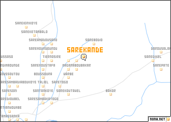
Saré Kandé (Kolda, Senegal)Saré Kandé is a town in the Kolda region of Senegal. An overview map of the region around Saré Kandé is displayed below.
regional and 3d topo map of Saré Kandé, Senegal ::
Saré Kandé airports ::
The nearest airport is TUD - Tambacounda, located 145.1 km north east of Saré Kandé.
Other airports nearby include BXO - Bissau Oswaldo Vieira Intl (157.5 km south west), ZIG - Ziguinchor (171.1 km west), KLC - Kaolack (184.4 km north west), BJL - Banjul Intl (205.4 km west), Nearby towns ::
Koulinnto (1.8km west) //
Kassépol (1.9km north) //
Magana Boubakar (2.6km south west) //
Saré Kokolé Diarga (3.6km west) //
Sambouloum (4.1km north east) //
Katia (4.1km south west) //
Saré Bodio (4.1km north east) //
Warbé (5.2km south west) //
Tierno Siré (7.2km west) //
Kadiamari (7.5km west) //
Saré Togo (7.8km south west) //
Saré Ioba (7.8km south west) //
Saré Koutawel (8.2km south west) //
Bélimaoundé (8.1km north west) //
Bakor (9.2km south east) //
[all distances 'as the bird flies' and approximate] 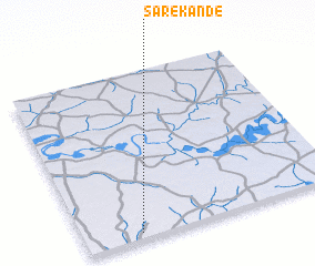 Places with similar names to Saré Kandé, Senegal ::
// Şorkǝnd (AZ)
// Şurakǝnd (AZ)
// Şurakǝnd (AZ)
// Şurakǝnd (AZ)
// Cerro Cañito (PA)
// Saraykent (TR)
// Sarıkent (TR)
// Sarai Kānda (BD)
// Serkāndi (BD)
// Soārkāndi (BD)
Disclaimer :: Information on this page comes without warranty of any kind |
||
|
Where is Saré Kandé? Elevation and coordinates ::
Latitude (lat): 13°2'0"N Longitude (lon): 14°47'0"W
Elevation (approx.): 34m (map arrows pan, magnifying glasses zoom) |
||
|
Visiting Saré Kandé? Hotel/Accommodation ::
Book a hotel in Saré Kandé Travel Guide ::
Buy a travel guide for Senegal rental cars ::
car rental offers GPS waypoint ::
download a GPX waypoint (PoI) of Saré Kandé for your GPS receiver
|
||