|
search place name
|
||
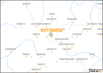
Sintiourou (Tambacounda, Senegal)Sintiourou is a town in the Tambacounda region of Senegal. An overview map of the region around Sintiourou is displayed below.
regional and 3d topo map of Sintiourou, Senegal ::
Sintiourou airports ::
The nearest airport is KGG - Kedougou, located 27.0 km north west of Sintiourou.
Other airports nearby include LEK - Labe (126.0 km south), TUD - Tambacounda (228.7 km north west), Nearby towns ::
Madiou (0.0km north) //
Fongolembi (0.0km north) //
Walankinndi (1.8km west) //
Leïfala (1.8km west) //
Nianguimoni (4.1km south east) //
Niagalankomé (4.1km south east) //
Banboye (4.1km north west) //
Lanbel (4.1km north east) //
Dakanété (5.6km south) //
Dalaoulé (5.6km north) //
Koboye (5.4km west) //
Sountoufalaye (6.6km south east) //
Vélingara (6.6km north west) //
Togué (7.4km north) //
Sékréta (7.2km east) //
Foulaye (7.8km south east) //
Soudouol (8.2km south west) //
Kénenndé (8.1km south east) //
Kédougou (9.1km north east) //
Kopou (10.4km south west) //
[all distances 'as the bird flies' and approximate] 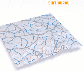 Places with similar names to Sintiourou, Senegal ::
// Cenciara (IT)
// Sancheira (PT)
// Sanchur (BD)
// Sonā Char (BD)
// Sanchirí (CR)
// Sānchor (IN)
// Sintiou Rou (GN)
// Sintiourou (GN)
// Sintiourou (GN)
// Sinch'o-ri (KP)
Disclaimer :: Information on this page comes without warranty of any kind |
||
|
Where is Sintiourou? Elevation and coordinates ::
Latitude (lat): 12°26'0"N Longitude (lon): 12°1'0"W
Elevation (approx.): 375m (map arrows pan, magnifying glasses zoom) |
||
|
Visiting Sintiourou? Hotel/Accommodation ::
Book a hotel in Sintiourou Travel Guide ::
Buy a travel guide for Senegal rental cars ::
car rental offers GPS waypoint ::
download a GPX waypoint (PoI) of Sintiourou for your GPS receiver
|
||