|
search place name
|
||
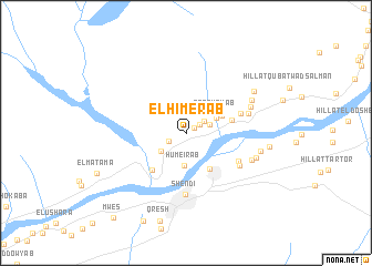
El Himerab (Nahr an Nīl, Sudan)El Himerab is a town in the Nahr an Nīl region of Sudan. An overview map of the region around El Himerab is displayed below.
regional and 3d topo map of El Himerab, Sudan ::
El Himerab airports ::
The nearest airport is KRT - Khartoum, located 159.0 km south west of El Himerab.
Nearby towns ::
El ‘Abdotab (0.9km north east) //
Ed Diheshab (1.6km north east) //
El Mirenab (1.8km south west) //
Qoz Gaba (2.1km north east) //
El Karada (2.4km east) //
Sayal Karem ed Den (3.0km south west) //
Humeirab (3.3km south) //
Bishandi (3.3km north east) //
Er Rahamab (3.4km north east) //
Ed Danaqla (3.9km north east) //
Esh Shaqalo (4.3km south east) //
El Kjera (4.6km east) //
Sayyal Karim ad Din (5.0km south west) //
Ettleh (5.6km east) //
El Ushara (5.9km south east) //
Shendi (6.1km south) //
Misiktab (6.2km south east) //
El Kmer (6.3km east) //
Es Salama (6.8km north east) //
Esh Sharef (6.9km south east) //
El ‘Iwedab (7.2km north east) //
Banat (7.2km east) //
Hillat el Qoz (7.5km east) //
Essamra (7.8km north east) //
Hillat esh Sheikh (8.2km east) //
Qresh (9.2km south) //
Hillat el Qileia (9.8km south west) //
Mwes (11.0km south west) //
[all distances 'as the bird flies' and approximate] 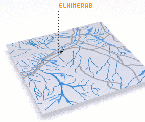 Places with similar names to El Himerab, Sudan :: Disclaimer :: Information on this page comes without warranty of any kind |
||
|
Where is El Himerab? Elevation and coordinates ::
Latitude (lat): 16°44'48"N Longitude (lon): 33°26'5"E
Elevation (approx.): 363m (map arrows pan, magnifying glasses zoom) |
||
|
Visiting El Himerab? Hotel/Accommodation ::
Book a hotel in El Himerab Travel Guide ::
Buy a travel guide for Sudan rental cars ::
car rental offers GPS waypoint ::
download a GPX waypoint (PoI) of El Himerab for your GPS receiver
|
||