|
search place name
|
||
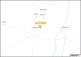
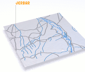
Jerbar (Baḩr al Jabal, Sudan)Jerbar is a town in the Baḩr al Jabal region of Sudan. An overview map of the region around Jerbar is displayed below.
regional and 3d topo map of Jerbar, Sudan ::
Jerbar airports ::
The nearest airport is JUB - Juba, located 105.1 km south east of Jerbar.
Nearby towns ::
 Places with similar names to Jerbar, Sudan ::
// Gerber (US)
// Gerber (US)
// Jorabāri (BD)
// Jorbāri (BD)
// Jirbīri (IN)
// Joribār (IN)
// Girra Barra (SD)
// Jauro Abare (NG)
// Gerberoy (FR)
// João Ribeiro (BR)
Disclaimer :: Information on this page comes without warranty of any kind |
||
|
Where is Jerbar? Elevation and coordinates ::
Latitude (lat): 5°40'11"N Longitude (lon): 31°5'9"E
Elevation (approx.): 544m (map arrows pan, magnifying glasses zoom) |
||
|
Visiting Jerbar? Hotel/Accommodation ::
Book a hotel in Jerbar Travel Guide ::
Buy a travel guide for Sudan rental cars ::
car rental offers GPS waypoint ::
download a GPX waypoint (PoI) of Jerbar for your GPS receiver
|
||