|
search place name
|
||
Umm ‘Īdān ((( Al Wusţá )), Sudan)Umm ‘Īdān is a town in the (( Al Wusţá )) region of Sudan. An overview map of the region around Umm ‘Īdān is displayed below.
regional and 3d topo map of Umm ‘Īdān, Sudan ::
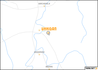
Nearby towns ::
Qulaydāt (4.1km north west) //
Umm ‘Ushūsh (8.2km south west) //
[all distances 'as the bird flies' and approximate] 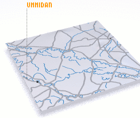 Places with similar names to Umm ‘Īdān, Sudan ::
// Umatunau (TP)
// Uaymitun (MX)
// Umm at Tīn (SY)
// Umm at Tīnah (SY)
// Umm at Tīnah (SY)
// Umm at Tīnah (SY)
// Umm Bāţinah (SY)
// Umm Tīnah (SY)
// Umutonu (NG)
Disclaimer :: Information on this page comes without warranty of any kind |
||
|
Where is Umm ‘Īdān? Elevation and coordinates ::
Latitude (lat): 13°30'0"N Longitude (lon): 34°2'0"E
Elevation (approx.): 428m (map arrows pan, magnifying glasses zoom) |
||
|
Visiting Umm ‘Īdān? Hotel/Accommodation ::
Book a hotel in Umm ‘Īdān Travel Guide ::
Buy a travel guide for Sudan rental cars ::
car rental offers GPS waypoint ::
download a GPX waypoint (PoI) of Umm ‘Īdān for your GPS receiver
|
||