|
search place name
|
||
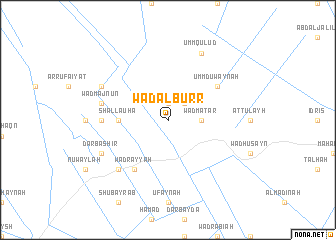
Wad al Burr ((( Al Wusţá )), Sudan)Wad al Burr is a town in the (( Al Wusţá )) region of Sudan. An overview map of the region around Wad al Burr is displayed below.
regional and 3d topo map of Wad al Burr, Sudan ::
Wad al Burr airports ::
The nearest airport is KRT - Khartoum, located 144.0 km north west of Wad al Burr.
Nearby towns ::
Muḩammad Yūsuf (1.9km north) //
Wad Raḩmah (2.6km north east) //
Wad Maţar (3.6km east) //
Shalla‘ūhā (5.4km west) //
Umm Duwaynah (6.5km north east) //
Wad Rayyah (6.6km south west) //
Bakhīt (7.2km west) //
Wad Majnūn (7.4km west) //
Sharafāt (7.7km south west) //
Umm Qulūd (8.2km north east) //
Dār Bashīr (8.1km south west) //
Al Khushaym (8.1km north west) //
[all distances 'as the bird flies' and approximate] 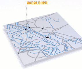 Places with similar names to Wad al Burr, Sudan ::
// Wad al Burr (SD)
// Wādī al Biʼr (YE)
Disclaimer :: Information on this page comes without warranty of any kind |
||
|
Where is Wad al Burr? Elevation and coordinates ::
Latitude (lat): 14°27'0"N Longitude (lon): 33°12'0"E
Elevation (approx.): 408m (map arrows pan, magnifying glasses zoom) |
||
|
Visiting Wad al Burr? Hotel/Accommodation ::
Book a hotel in Wad al Burr Travel Guide ::
Buy a travel guide for Sudan rental cars ::
car rental offers GPS waypoint ::
download a GPX waypoint (PoI) of Wad al Burr for your GPS receiver
|
||