|
search place name
|
||
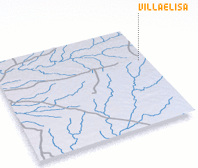
Villa Elisa (Río Negro, Uruguay)Villa Elisa is a town in the Río Negro region of Uruguay. An overview map of the region around Villa Elisa is displayed below.
regional and 3d topo map of Villa Elisa, Uruguay ::

Villa Elisa airports ::
The nearest airport is STY - Salto Nueva Hesperides Intl, located 132.9 km north west of Villa Elisa.
Other airports nearby include COC - Concordia Comodoro Pierrestegui (145.7 km north west), GHU - Gualeguaychu (164.7 km south west), Nearby towns ::
 Places with similar names to Villa Elisa, Uruguay ::
// Villa Loza (BO)
// Vila Lusã (PT)
// Velillas (ES)
// Villalís (ES)
// Villaluz (ES)
// Villa Luisa (CO)
// Villa Luz (CO)
// Villa Luz (HN)
// Villa Luisa (PE)
// Villa Elisa (PY)
Disclaimer :: Information on this page comes without warranty of any kind |
||
|
Where is Villa Elisa? Elevation and coordinates ::
Latitude (lat): 32°20'0"S Longitude (lon): 57°3'0"W
Elevation (approx.): 157m (map arrows pan, magnifying glasses zoom) |
||
|
Visiting Villa Elisa? Hotel/Accommodation ::
Book a hotel in Villa Elisa Travel Guide ::
Buy a travel guide for Uruguay rental cars ::
car rental offers GPS waypoint ::
download a GPX waypoint (PoI) of Villa Elisa for your GPS receiver
|
||