|
search place name
|
||
Chamazambi (Northern, Zambia)Chamazambi is a town in the Northern region of Zambia. An overview map of the region around Chamazambi is displayed below.
regional and 3d topo map of Chamazambi, Zambia ::
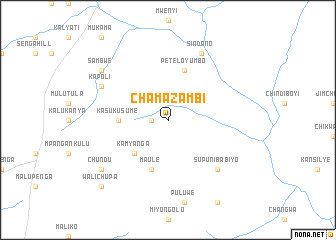
Nearby towns ::
Moses (1.8km west) //
Kamyanga (5.2km south west) //
Kasukusume (5.5km west) //
Maule (5.9km south) //
Petelo Yumbo (5.9km north) //
Supuni Babiyo (7.8km south east) //
Sindano (8.3km north east) //
Kapoli (8.2km north west) //
Chundu (9.2km south west) //
Sambwe (9.2km north west) //
Walichupa (10.4km south west) //
[all distances 'as the bird flies' and approximate] 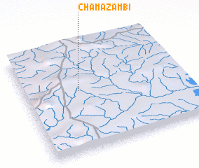 Places with similar names to Chamazambi, Zambia ::
// Shemzemo (ET)
// Shamaziamu (CD)
// Shamusema (CD)
// Shamusemba (CD)
// Chimuzimu (ZM)
// Chimzimu (ZM)
// Siamasambo (ZM)
// Siamusambo (ZM)
// Siamuzembo (ZM)
// Chamzumbe (TZ)
Disclaimer :: Information on this page comes without warranty of any kind |
||
|
Where is Chamazambi? Elevation and coordinates ::
Latitude (lat): 9°25'0"S Longitude (lon): 31°21'0"E
Elevation (approx.): 1621m (map arrows pan, magnifying glasses zoom) |
||
|
Visiting Chamazambi? Hotel/Accommodation ::
Book a hotel in Chamazambi Travel Guide ::
Buy a travel guide for Zambia rental cars ::
car rental offers GPS waypoint ::
download a GPX waypoint (PoI) of Chamazambi for your GPS receiver
|
||