|
search place name
|
||
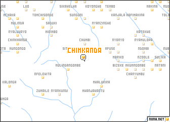
Chimkanda (Eastern, Zambia)Chimkanda is a town in the Eastern region of Zambia. An overview map of the region around Chimkanda is displayed below.
regional and 3d topo map of Chimkanda, Zambia ::
Chimkanda airports ::
The nearest airport is MFU - Mfuwe, located 154.2 km north of Chimkanda.
Nearby towns ::
Nyavndi (2.6km north west) //
Chumbi (3.7km north) //
Sitele (4.0km north west) //
Mulindangombe (4.0km south west) //
Mfuse (5.7km east) //
Mwalukira (6.6km south east) //
Mariko (7.2km east) //
Mwanjawantu (7.6km south) //
Chakwe (7.6km north) //
Chikankala (7.4km east) //
Bizeke (7.4km east) //
Nyanzingwe (8.2km north east) //
Nyonyo (8.1km north east) //
Nyankundi (9.2km south west) //
Mirimbo (9.1km north west) //
Chawala (9.1km north west) //
Saduki (10.3km north west) //
[all distances 'as the bird flies' and approximate] 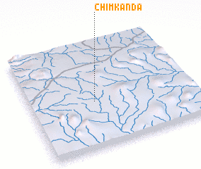 Places with similar names to Chimkanda, Zambia ::
// Shamukondo (CD)
// Shymkent (KZ)
// Shymkent (KZ)
// Chimkent (UZ)
// Siamugande (ZM)
// Siamukundu (ZM)
// Cham Kandi (PK)
// Sham‘ī Kandī (IR)
// Chimgonda (MW)
// Chimgonda (MW)
Disclaimer :: Information on this page comes without warranty of any kind |
||
|
Where is Chimkanda? Elevation and coordinates ::
Latitude (lat): 14°33'0"S Longitude (lon): 31°24'0"E
Elevation (approx.): 1043m (map arrows pan, magnifying glasses zoom) |
||
|
Visiting Chimkanda? Hotel/Accommodation ::
Book a hotel in Chimkanda Travel Guide ::
Buy a travel guide for Zambia rental cars ::
car rental offers GPS waypoint ::
download a GPX waypoint (PoI) of Chimkanda for your GPS receiver
|
||