|
search place name
|
||
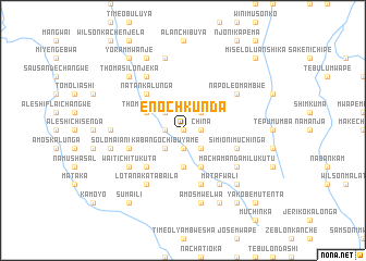
Enoch Kunda (Central, Zambia)Enoch Kunda is a town in the Central region of Zambia. An overview map of the region around Enoch Kunda is displayed below.
regional and 3d topo map of Enoch Kunda, Zambia ::
Enoch Kunda airports ::
The nearest airport is MFU - Mfuwe, located 174.0 km east of Enoch Kunda.
Other airports nearby include NLA - Ndola (187.0 km west), Nearby towns ::
Bread Kasungulika (0.0km north) //
Pencil Kalungwa (0.0km north) //
Namumpu (0.0km north) //
Wile Kapepele (0.0km north) //
Enala Kasakila (1.9km south) //
Oka Chabala (1.8km west) //
China (1.8km east) //
Kabango Chibuyame (2.6km south west) //
Isake Muyaya (2.6km south west) //
Saioni Chaia (2.6km south east) //
Namaliko (2.6km north west) //
Tipoti Mumbe (2.6km north west) //
Enos Chisenga (2.6km north west) //
Wile Chulu (2.6km north east) //
Kaliaba Shamboko (2.6km north east) //
David Mumba (2.6km north east) //
Kanyemba Kamfwa (3.7km south) //
Chinkoyo (4.1km north west) //
Egesi Chimanisha (4.1km north west) //
Thomas Bukali (4.1km north west) //
Kandu Mubwela (4.1km south east) //
James Mukobeka (5.2km south west) //
Filimoni Mwape (5.2km south west) //
Jackson Mumba (5.2km north west) //
Natan Kalunga (5.2km north west) //
Sidiya Koteshianya (5.7km west) //
Chuwye Mondo (5.7km west) //
Simioni Muchinga (5.7km east) //
Isake Chimbwi (5.8km south) //
[all distances 'as the bird flies' and approximate] 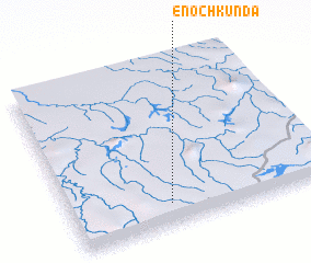 Places with similar names to Enoch Kunda, Zambia :: Disclaimer :: Information on this page comes without warranty of any kind |
||
|
Where is Enoch Kunda? Elevation and coordinates ::
Latitude (lat): 12°52'0"S Longitude (lon): 30°23'0"E
Elevation (approx.): 1370m (map arrows pan, magnifying glasses zoom) |
||
|
Visiting Enoch Kunda? Hotel/Accommodation ::
Book a hotel in Enoch Kunda Travel Guide ::
Buy a travel guide for Zambia rental cars ::
car rental offers GPS waypoint ::
download a GPX waypoint (PoI) of Enoch Kunda for your GPS receiver
|
||