|
search place name
|
||
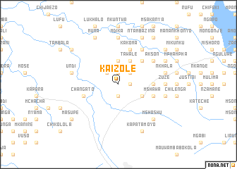
Kaizole (Eastern, Zambia)Kaizole is a town in the Eastern region of Zambia. An overview map of the region around Kaizole is displayed below.
regional and 3d topo map of Kaizole, Zambia ::
Kaizole airports ::
The nearest airport is MFU - Mfuwe, located 80.0 km west of Kaizole.
Other airports nearby include LLW - Lilongwe Kamuzu Intl (128.2 km east), Nearby towns ::
Phillip (1.9km north) //
Chitsime (1.9km south) //
Chijaezo (1.9km north) //
Kafoteka (1.8km east) //
Chifomso (2.6km north west) //
Mphaisha (2.6km north west) //
Mgwalangwa (2.6km north east) //
Chiutika (3.7km north) //
Justin (3.7km north) //
Mlangeni (4.1km north east) //
Tawale (4.1km north east) //
Kaswaila (4.1km south east) //
Kapomera (4.1km south east) //
Mponda (5.2km north east) //
Magodi (5.2km north east) //
Mambe (5.4km east) //
Changato (5.7km west) //
Chamato (5.8km north) //
Kakoma (5.8km north) //
Mshawa (5.7km east) //
Akson (6.6km north east) //
Chinyaku (6.6km north east) //
Chimombo (6.6km north east) //
Mageza (7.4km north) //
Magoboza (7.4km north) //
Mdika (7.4km north) //
Zuze (7.2km east) //
Undi (7.4km west) //
Chongololo (7.4km east) //
[all distances 'as the bird flies' and approximate] 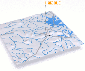 Places with similar names to Kaizole, Zambia ::
Disclaimer :: Information on this page comes without warranty of any kind |
||
|
Where is Kaizole? Elevation and coordinates ::
Latitude (lat): 13°30'0"S Longitude (lon): 32°38'0"E
Elevation (approx.): 1103m (map arrows pan, magnifying glasses zoom) |
||
|
Visiting Kaizole? Hotel/Accommodation ::
Book a hotel in Kaizole Travel Guide ::
Buy a travel guide for Zambia rental cars ::
car rental offers GPS waypoint ::
download a GPX waypoint (PoI) of Kaizole for your GPS receiver
|
||