|
search place name
|
||
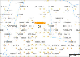
Mpamba (Eastern, Zambia)Mpamba is a town in the Eastern region of Zambia. An overview map of the region around Mpamba is displayed below.
regional and 3d topo map of Mpamba, Zambia ::
Mpamba airports ::
The nearest airport is MFU - Mfuwe, located 123.5 km north east of Mpamba.
Nearby towns ::
Kachewula (1.9km south) //
Kanduku (1.8km east) //
Mankwala (2.6km south east) //
Mupya (2.6km south west) //
Nkowe (2.6km north east) //
Msajemwa (2.6km north west) //
Jere (2.6km north west) //
Mwenda (3.6km west) //
Chimtowe (3.6km west) //
Chandema (4.0km south east) //
Malanda (4.0km north east) //
Chongololo (4.1km south east) //
Petauke (4.1km south west) //
Chimate (4.1km south west) //
Mwamba (5.2km south east) //
Sitambuli (5.2km south west) //
Chilembe (5.2km south west) //
Kalito (5.2km south west) //
Nyakachonko (5.2km south west) //
Zuze (5.2km north west) //
Mzomwa (5.4km east) //
Simate (5.4km west) //
Mkowana (5.4km west) //
Mtunka (5.4km west) //
Kachapa (5.7km east) //
Chikandula (5.7km east) //
Matulena (5.8km north) //
Ndombi (6.5km south east) //
Chikade (6.5km south west) //
[all distances 'as the bird flies' and approximate] 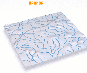 Places with similar names to Mpamba, Zambia ::
Disclaimer :: Information on this page comes without warranty of any kind |
||
|
Where is Mpamba? Elevation and coordinates ::
Latitude (lat): 14°13'0"S Longitude (lon): 31°21'0"E
Elevation (approx.): 977m (map arrows pan, magnifying glasses zoom) |
||
|
Visiting Mpamba? Hotel/Accommodation ::
Book a hotel in Mpamba Travel Guide ::
Buy a travel guide for Zambia rental cars ::
car rental offers GPS waypoint ::
download a GPX waypoint (PoI) of Mpamba for your GPS receiver
|
||