|
search place name
|
||
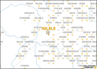
Mulalo (Eastern, Zambia)Mulalo is a town in the Eastern region of Zambia. An overview map of the region around Mulalo is displayed below.
regional and 3d topo map of Mulalo, Zambia ::
Mulalo airports ::
The nearest airport is MFU - Mfuwe, located 137.0 km north east of Mulalo.
Nearby towns ::
Changa Muzizi (0.0km north) //
Mpusa (0.0km north) //
Mkwekwesha (1.8km east) //
Kazowo (1.9km north) //
Ntande (2.6km south east) //
Cheso (3.7km south) //
Mulirangombe (3.7km south) //
Kachosi (3.7km south) //
Bimaele (3.7km north) //
Mpilwe (3.7km north) //
Yotam (3.7km north) //
Chitambo (4.1km south east) //
Sitolongo (4.0km north west) //
Mazala (4.0km south east) //
Malowa (4.0km north east) //
Chapera (5.2km south east) //
Kandeyo (5.2km north east) //
Saule (5.2km north east) //
Kambando (5.6km north) //
Merwe (5.4km west) //
Chizindilo (5.6km north) //
Damiano (5.8km south) //
Kufoma (5.8km south) //
Mulilangombe (5.8km south) //
Nyamea (5.8km north) //
Yona (5.7km east) //
Ndembo (5.7km east) //
Kabemba (5.7km east) //
Mbiwi (5.7km east) //
[all distances 'as the bird flies' and approximate] 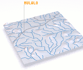 Places with similar names to Mulalo, Zambia ::
Disclaimer :: Information on this page comes without warranty of any kind |
||
|
Where is Mulalo? Elevation and coordinates ::
Latitude (lat): 14°18'0"S Longitude (lon): 31°15'0"E
Elevation (approx.): 954m (map arrows pan, magnifying glasses zoom) |
||
|
Visiting Mulalo? Hotel/Accommodation ::
Book a hotel in Mulalo Travel Guide ::
Buy a travel guide for Zambia rental cars ::
car rental offers GPS waypoint ::
download a GPX waypoint (PoI) of Mulalo for your GPS receiver
|
||