|
search place name
|
||
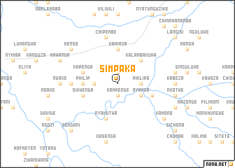
Simpaka (Eastern, Zambia)Simpaka is a town in the Eastern region of Zambia. An overview map of the region around Simpaka is displayed below.
regional and 3d topo map of Simpaka, Zambia ::
Simpaka airports ::
The nearest airport is MFU - Mfuwe, located 179.1 km north east of Simpaka.
Nearby towns ::
Machisa (1.9km north) //
Nsaika (1.9km north) //
Kampende (1.9km south) //
Chiwowa (3.6km west) //
Philipo (3.6km east) //
Chipeukeni (3.6km east) //
Nyamwa (4.0km south east) //
Kalambakuwa (5.2km north east) //
Kaminza (5.6km north) //
Philip (5.4km west) //
Kapenda (5.7km west) //
Nyakutwa (5.8km south) //
Munenkande (5.7km east) //
Ntambo (5.7km east) //
Sikwenda (5.7km west) //
Kamphata (7.2km west) //
Chipembe (7.6km north) //
Menso (9.1km north west) //
Kamono (9.1km south east) //
Mwenje (10.3km south west) //
Pondani (10.3km south west) //
[all distances 'as the bird flies' and approximate] 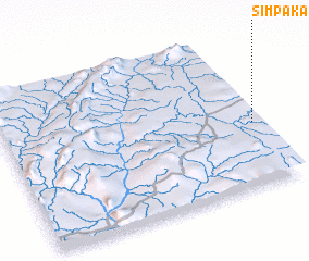 Places with similar names to Simpaka, Zambia ::
Disclaimer :: Information on this page comes without warranty of any kind |
||
|
Where is Simpaka? Elevation and coordinates ::
Latitude (lat): 14°35'0"S Longitude (lon): 30°59'0"E
Elevation (approx.): 903m (map arrows pan, magnifying glasses zoom) |
||
|
Visiting Simpaka? Hotel/Accommodation ::
Book a hotel in Simpaka Travel Guide ::
Buy a travel guide for Zambia rental cars ::
car rental offers GPS waypoint ::
download a GPX waypoint (PoI) of Simpaka for your GPS receiver
|
||