|
search place name
|
||
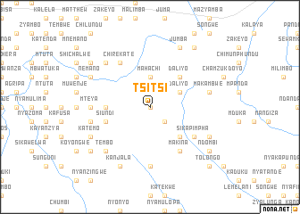
Tsitsi (Eastern, Zambia)Tsitsi is a town in the Eastern region of Zambia. An overview map of the region around Tsitsi is displayed below.
regional and 3d topo map of Tsitsi, Zambia ::
Tsitsi airports ::
The nearest airport is MFU - Mfuwe, located 134.8 km north of Tsitsi.
Nearby towns ::
Chilekata (0.0km north) //
Kalimba (2.6km south east) //
Mahachi (3.7km north) //
Daliyo (4.0km north east) //
Kavulasiya (4.0km north east) //
Mulyanyungu (5.2km south east) //
Thomas (5.2km north east) //
Daliyo (5.2km north east) //
Goviyana (5.4km west) //
Chitimba (5.7km west) //
Siundi (5.7km west) //
Makina (6.6km south east) //
Sikapimpha (6.5km south east) //
Chirekate (6.6km north west) //
Chimwere (6.6km north west) //
Mteya (7.2km west) //
Kafimakina (7.4km south) //
Makambwe (7.4km east) //
Sanje (7.4km west) //
Mpuwe (7.7km south west) //
Tembo (7.7km south west) //
Kawamba (7.7km north west) //
Chisinga (7.7km north west) //
Katemo (8.1km south west) //
Kamwiri (8.2km south west) //
Kawemba (8.1km south east) //
Kambalimbali (8.1km south east) //
Kanjala (8.2km south west) //
Nemano (8.1km north west) //
[all distances 'as the bird flies' and approximate] 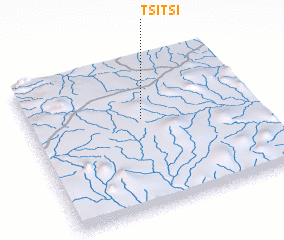 Places with similar names to Tsitsi, Zambia ::
Disclaimer :: Information on this page comes without warranty of any kind |
||
|
Where is Tsitsi? Elevation and coordinates ::
Latitude (lat): 14°24'0"S Longitude (lon): 31°30'0"E
Elevation (approx.): 1083m (map arrows pan, magnifying glasses zoom) |
||
|
Visiting Tsitsi? Hotel/Accommodation ::
Book a hotel in Tsitsi Travel Guide ::
Buy a travel guide for Zambia rental cars ::
car rental offers GPS waypoint ::
download a GPX waypoint (PoI) of Tsitsi for your GPS receiver
|
||