|
search place name
|
||
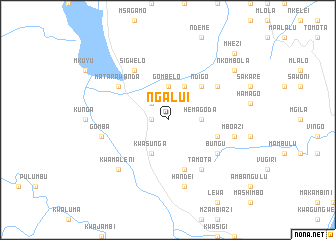
Ngalui (Tanzania)Ngalui is a town in Tanzania. An overview map of the region around Ngalui is displayed below.
regional and 3d topo map of Ngalui, Tanzania ::
Ngalui airports ::
The nearest airport is TGT - Tanga, located 80.4 km east of Ngalui.
Other airports nearby include PMA - Pemba (164.2 km east), ZNZ - Zanzibar (164.8 km south east), MBA - Mombasa Moi Intl (175.7 km north east), JRO - Kilimanjaro Intl (225.5 km north west), Nearby towns ::
Makuyuni (1.8km west) //
Mtindilu (2.6km north west) //
Hemagoda (3.7km east) //
Gombelo (3.7km north) //
Kwasunga (4.1km south west) //
Mheza (4.1km north east) //
Ndigo (5.2km north east) //
Hakaro (5.8km east) //
Lutindi (5.9km south) //
Tamota (6.7km south east) //
Kunga (6.7km south east) //
Bungu (6.7km south east) //
Sigwelo (6.7km north west) //
Hemkole (6.7km north east) //
Matarawanda (6.7km north west) //
Handei (7.6km south) //
Gomba (7.6km west) //
Mboazi (7.6km east) //
Kwamaleni (7.8km south west) //
Nkombola (9.2km north east) //
Maluda (9.2km north east) //
Mhezi (10.5km north east) //
[all distances 'as the bird flies' and approximate] 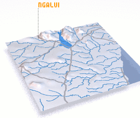 Places with similar names to Ngalui, Tanzania ::
Disclaimer :: Information on this page comes without warranty of any kind |
||
|
Where is Ngalui? Elevation and coordinates ::
Latitude (lat): 5°1'0"S Longitude (lon): 38°21'0"E
Elevation (approx.): 540m (map arrows pan, magnifying glasses zoom) |
||
|
Visiting Ngalui? Hotel/Accommodation ::
Book a hotel in Ngalui Travel Guide ::
Buy a travel guide for Tanzania rental cars ::
car rental offers GPS waypoint ::
download a GPX waypoint (PoI) of Ngalui for your GPS receiver
|
||