|
search place name
|
||
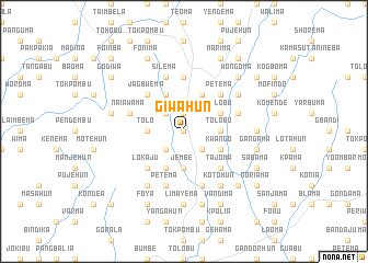
Giwahun (Eastern, Sierra Leone)Giwahun is a town in the Eastern region of Sierra Leone. An overview map of the region around Giwahun is displayed below.
regional and 3d topo map of Giwahun, Sierra Leone ::
Giwahun airports ::
The nearest airport is FAA - Faranah, located 192.9 km north of Giwahun.
Nearby towns ::
Venima (0.0km north) //
Gikon (0.0km north) //
Tungie (1.9km north) //
Dambu (2.6km north west) //
Tikonko (2.6km south west) //
Periwama (2.6km south east) //
Galahun (2.6km south east) //
Jerihun (3.7km west) //
Tolo (3.7km west) //
Gilehun (3.7km west) //
Telu (3.7km east) //
Tolobu (3.7km east) //
Jembe (3.7km south) //
Diwa (3.7km south) //
Gorewoma (4.1km north west) //
Giema (4.1km north east) //
Patolu (4.1km north east) //
Tolobu (4.1km north east) //
Gohuma (4.1km south west) //
Kwango (4.1km south east) //
Jagbwema (5.2km north west) //
Petema (5.2km north east) //
Lokaju (5.2km south west) //
Dandabu (5.2km north east) //
Banda Bulima (5.2km south east) //
Tajoma (5.2km south east) //
Kangama (5.6km north) //
Silema (5.9km north) //
Naiawama (5.8km west) //
[all distances 'as the bird flies' and approximate] 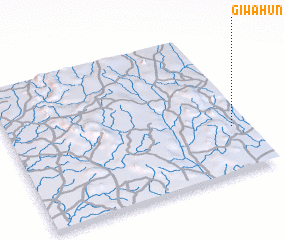 Places with similar names to Giwahun, Sierra Leone ::
Disclaimer :: Information on this page comes without warranty of any kind |
||
|
Where is Giwahun? Elevation and coordinates ::
Latitude (lat): 8°19'0"N Longitude (lon): 11°4'0"W
Elevation (approx.): 242m (map arrows pan, magnifying glasses zoom) |
||
|
Visiting Giwahun? Hotel/Accommodation ::
Book a hotel in Giwahun Travel Guide ::
rental cars ::
car rental offers GPS waypoint ::
download a GPX waypoint (PoI) of Giwahun for your GPS receiver
|
||