|
search place name
|
||
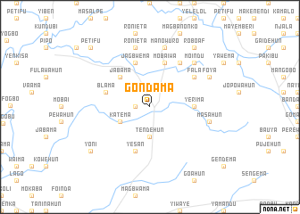
Gondama (Southern, Sierra Leone)Gondama is a town in the Southern region of Sierra Leone. An overview map of the region around Gondama is displayed below.
regional and 3d topo map of Gondama, Sierra Leone ::
Gondama airports ::
The nearest airport is FNA - Freetown Lungi, located 148.7 km west of Gondama.
Other airports nearby include FAA - Faranah (227.6 km north east), Nearby towns ::
Kowama (1.8km west) //
Tendehun (3.7km south) //
Katema (4.1km south west) //
Jabama (5.2km north west) //
Yerima (5.5km east) //
Mobaiwa (5.9km north) //
Jagbwema (5.9km north) //
Blama (5.8km west) //
Yesan (5.9km south) //
Mabang (6.7km north east) //
Fala (6.6km north east) //
Gandorhun (7.6km east) //
Masahun (7.6km east) //
Mabaime (7.6km north) //
Manowuro (7.6km north) //
Ronieta (7.6km north) //
Moindu (7.8km north east) //
Foya (8.2km north east) //
Roboaf (9.2km north east) //
Yoni (9.2km south west) //
Petifu (10.4km north west) //
[all distances 'as the bird flies' and approximate] 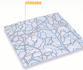 Places with similar names to Gondama, Sierra Leone ::
Disclaimer :: Information on this page comes without warranty of any kind |
||
|
Where is Gondama? Elevation and coordinates ::
Latitude (lat): 8°18'0"N Longitude (lon): 11°53'0"W
Elevation (approx.): 79m (map arrows pan, magnifying glasses zoom) |
||
|
Visiting Gondama? Hotel/Accommodation ::
Book a hotel in Gondama Travel Guide ::
rental cars ::
car rental offers GPS waypoint ::
download a GPX waypoint (PoI) of Gondama for your GPS receiver
|
||