|
search place name
|
||
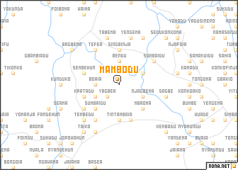
Mambodu (Eastern, Sierra Leone)Mambodu is a town in the Eastern region of Sierra Leone. An overview map of the region around Mambodu is displayed below.
regional and 3d topo map of Mambodu, Sierra Leone ::
Mambodu airports ::
The nearest airport is FAA - Faranah, located 159.8 km north of Mambodu.
Nearby towns ::
Yagbea (2.6km south west) //
Bendu (3.7km north) //
Boaia (3.7km west) //
Njagbema (4.1km south east) //
Bakedu (4.1km north east) //
Venima (4.1km south west) //
Mbaoma (5.2km south east) //
Sumbaidu (5.2km south west) //
Singbinja (5.6km north) //
Tintambaia (5.6km south) //
Komau (5.9km south) //
Sembehun (5.8km west) //
Kpatadu (5.8km west) //
Sumbaidu (6.6km north east) //
Bendu (6.6km south west) //
Tefea (6.7km north west) //
Senehun (6.7km south west) //
Fotingaia (7.6km east) //
Sagbe (7.6km east) //
Yengema (7.6km north) //
Tabema (7.6km north) //
Tembedu (7.8km south west) //
Konkombadu (8.3km north east) //
Kuidu (8.3km south west) //
Bagbema (9.2km north west) //
Taiko (9.2km south west) //
Sedukonkoma (10.4km north east) //
Kembadu (10.4km south east) //
[all distances 'as the bird flies' and approximate] 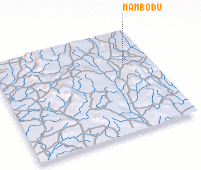 Places with similar names to Mambodu, Sierra Leone ::
Disclaimer :: Information on this page comes without warranty of any kind |
||
|
Where is Mambodu? Elevation and coordinates ::
Latitude (lat): 8°39'0"N Longitude (lon): 11°11'0"W
Elevation (approx.): 365m (map arrows pan, magnifying glasses zoom) |
||
|
Visiting Mambodu? Hotel/Accommodation ::
Book a hotel in Mambodu Travel Guide ::
rental cars ::
car rental offers GPS waypoint ::
download a GPX waypoint (PoI) of Mambodu for your GPS receiver
|
||