|
search place name
|
||
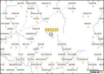
Maseri (Northern, Sierra Leone)Maseri is a town in the Northern region of Sierra Leone. An overview map of the region around Maseri is displayed below.
regional and 3d topo map of Maseri, Sierra Leone ::
Maseri airports ::
The nearest airport is FNA - Freetown Lungi, located 161.6 km west of Maseri.
Other airports nearby include FAA - Faranah (201.7 km north east), FIG - Fira Fria (288.6 km north west), Nearby towns ::
Victoria (0.0km north) //
Mabai (2.6km north west) //
Pujehun (5.2km south east) //
Rokon (5.2km south west) //
Makera (5.8km west) //
Lungi (5.9km north) //
Konta (6.6km south west) //
Batpela (6.6km south west) //
Magbwema (7.3km west) //
Mayemberi (7.6km south) //
Rosar (7.6km west) //
Taima (7.8km north west) //
Pujehun (7.8km south east) //
Manfi (7.8km south west) //
Kawoma (8.3km south east) //
Mawuluman (9.2km north west) //
Baomahun (10.4km south east) //
Moyogbo (10.4km south east) //
Rupapa (10.4km south west) //
Mabot (10.4km south west) //
Matumbu (10.4km north west) //
[all distances 'as the bird flies' and approximate] 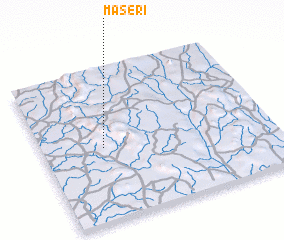 Places with similar names to Maseri, Sierra Leone ::
Disclaimer :: Information on this page comes without warranty of any kind |
||
|
Where is Maseri? Elevation and coordinates ::
Latitude (lat): 8°29'0"N Longitude (lon): 11°44'0"W
Elevation (approx.): 276m (map arrows pan, magnifying glasses zoom) |
||
|
Visiting Maseri? Hotel/Accommodation ::
Book a hotel in Maseri Travel Guide ::
rental cars ::
car rental offers GPS waypoint ::
download a GPX waypoint (PoI) of Maseri for your GPS receiver
|
||