|
search place name
|
||
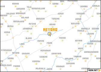
Meyama (Southern, Sierra Leone)Meyama is a town in the Southern region of Sierra Leone. An overview map of the region around Meyama is displayed below.
regional and 3d topo map of Meyama, Sierra Leone ::
Meyama airports ::
The nearest airport is MLW - Monrovia Spriggs Payne, located 181.4 km south east of Meyama.
Other airports nearby include FNA - Freetown Lungi (205.2 km north west), ROB - Monrovia Roberts Intl (211.2 km south east), Nearby towns ::
Kiambe (2.6km north west) //
Faima (3.5km south) //
Baiima (3.5km north) //
Ponima (4.5km south west) //
Fanima (4.6km east) //
Tongima (5.9km north) //
Periwahun (6.5km south) //
Mano (6.6km north west) //
Bangema (6.7km north west) //
Sogoma (7.2km west) //
Petema (7.6km north west) //
Gamayama (7.8km south) //
Blama (8.2km west) //
Juhun (8.3km north east) //
Jambohun (8.7km west) //
Konia (8.8km east) //
Gigbema (9.1km south) //
Yandehun (11.8km south west) //
[all distances 'as the bird flies' and approximate] 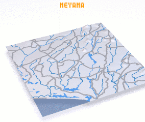 Places with similar names to Meyama, Sierra Leone ::
Disclaimer :: Information on this page comes without warranty of any kind |
||
|
Where is Meyama? Elevation and coordinates ::
Latitude (lat): 7°43'0"N Longitude (lon): 11°34'0"W
Elevation (approx.): 100m (map arrows pan, magnifying glasses zoom) |
||
|
Visiting Meyama? Hotel/Accommodation ::
Book a hotel in Meyama Travel Guide ::
rental cars ::
car rental offers GPS waypoint ::
download a GPX waypoint (PoI) of Meyama for your GPS receiver
|
||