|
search place name
|
||
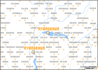
Nyandehun (Eastern, Sierra Leone)Nyandehun is a town in the Eastern region of Sierra Leone. An overview map of the region around Nyandehun is displayed below.
regional and 3d topo map of Nyandehun, Sierra Leone ::
Nyandehun airports ::
The nearest airport is FAA - Faranah, located 188.7 km north of Nyandehun.
Nearby towns ::
Naiagolehun (1.8km west) //
Yengema (1.8km east) //
Kundowahun (1.9km north) //
Golala (2.6km south west) //
Manjama (2.6km south east) //
Jagbwema (3.7km south) //
Benduma (3.7km south) //
Sambalu (3.7km east) //
Buyegema (4.1km south west) //
Jopowahun (4.1km south east) //
Takpoima (4.1km south west) //
Kouloumba (4.1km north west) //
Falahun (5.2km south west) //
Balu (5.2km south east) //
Gondima (5.5km west) //
Baoma (5.6km south) //
Melama (5.8km west) //
Mafindo (5.8km east) //
Lagbalu (5.8km west) //
Tombou (5.9km north) //
Kéléma (6.6km south west) //
Kangama (6.7km south west) //
Sengema (6.6km south west) //
Njama (6.7km south east) //
Kangama (6.7km north east) //
Kumantandu (6.6km north west) //
Kanjalu (7.3km west) //
Suagolu (7.3km east) //
Gendema (7.6km south) //
[all distances 'as the bird flies' and approximate] 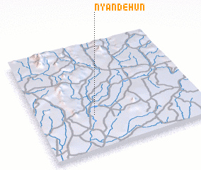 Places with similar names to Nyandehun, Sierra Leone ::
Disclaimer :: Information on this page comes without warranty of any kind |
||
|
Where is Nyandehun? Elevation and coordinates ::
Latitude (lat): 8°20'0"N Longitude (lon): 10°39'0"W
Elevation (approx.): 286m (map arrows pan, magnifying glasses zoom) |
||
|
Visiting Nyandehun? Hotel/Accommodation ::
Book a hotel in Nyandehun Travel Guide ::
rental cars ::
car rental offers GPS waypoint ::
download a GPX waypoint (PoI) of Nyandehun for your GPS receiver
|
||