|
search place name
|
||
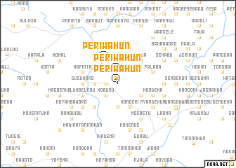
Periwahun (Southern, Sierra Leone)Periwahun is a town in the Southern region of Sierra Leone. An overview map of the region around Periwahun is displayed below.
regional and 3d topo map of Periwahun, Sierra Leone ::
Periwahun airports ::
The nearest airport is FNA - Freetown Lungi, located 93.3 km north west of Periwahun.
Other airports nearby include FAA - Faranah (265.2 km north east), MLW - Monrovia Spriggs Payne (286.6 km south east), Nearby towns ::
Kowama (1.8km west) //
Periwahun (1.9km north) //
Mobunu (2.6km south west) //
Mangoni (2.6km north east) //
Jopowahun (2.6km north east) //
Bumbeworo (3.7km west) //
Mokende (3.7km south) //
Mongeri (4.1km south east) //
Periwahun (4.1km north west) //
Gerehun (4.1km south east) //
Bankafu (4.1km north east) //
Monjobu (5.2km south west) //
Mokaima (5.2km north west) //
Taua (5.2km north east) //
Susuworo (5.5km west) //
Lumbelebu (5.8km west) //
Mondema (5.8km east) //
Mafinta (5.8km west) //
Magbila (5.9km north) //
Falaba (5.8km east) //
Batbana (6.7km north west) //
Momange (6.6km south west) //
Nyandehun (6.6km south east) //
Baoma (6.6km south east) //
Mogbetu (6.7km south east) //
Monjobo (7.3km east) //
Giegboia (7.3km east) //
Mokende (7.6km south) //
Bauya (7.6km east) //
[all distances 'as the bird flies' and approximate] 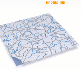 Places with similar names to Periwahun, Sierra Leone ::
Disclaimer :: Information on this page comes without warranty of any kind |
||
|
Where is Periwahun? Elevation and coordinates ::
Latitude (lat): 8°17'0"N Longitude (lon): 12°25'0"W
Elevation (approx.): 71m (map arrows pan, magnifying glasses zoom) |
||
|
Visiting Periwahun? Hotel/Accommodation ::
Book a hotel in Periwahun Travel Guide ::
rental cars ::
car rental offers GPS waypoint ::
download a GPX waypoint (PoI) of Periwahun for your GPS receiver
|
||