|
search place name
|
||
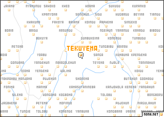
Tekuyema (Eastern, Sierra Leone)Tekuyema is a town in the Eastern region of Sierra Leone. An overview map of the region around Tekuyema is displayed below.
regional and 3d topo map of Tekuyema, Sierra Leone ::
Tekuyema airports ::
The nearest airport is FAA - Faranah, located 176.5 km north of Tekuyema.
Nearby towns ::
Mandu (2.6km north east) //
Sanga (3.7km east) //
Fonayama (3.7km north) //
Sumbaidu (4.1km north east) //
Teyema (4.1km south east) //
Gumbukeima (4.1km north east) //
Naiagolehun (4.1km south west) //
Levuma (4.1km north west) //
Walima (5.2km south west) //
Shorema (5.6km south) //
Tungbibu (5.8km east) //
Paninga (5.8km east) //
Mano (5.8km east) //
Foindu (5.8km west) //
Mania (5.9km north) //
Masundu (6.7km north west) //
Kamasu-Tanineba (7.4km south) //
Njala (7.6km east) //
Guala (7.6km south) //
Baiama (7.6km north) //
Koindu (7.6km north) //
Ngeihun (7.8km north east) //
Konendu (8.2km north east) //
Komende (8.2km south west) //
Braia (8.3km north east) //
Gbokadu (9.2km north east) //
Sawula (9.2km north east) //
Papwema (9.2km north east) //
Pujehun (9.2km south west) //
[all distances 'as the bird flies' and approximate] 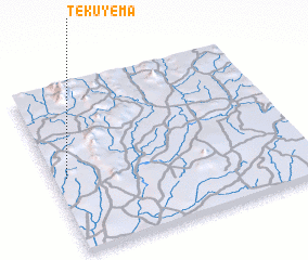 Places with similar names to Tekuyema, Sierra Leone ::
Disclaimer :: Information on this page comes without warranty of any kind |
||
|
Where is Tekuyema? Elevation and coordinates ::
Latitude (lat): 8°27'0"N Longitude (lon): 10°57'0"W
Elevation (approx.): 477m (map arrows pan, magnifying glasses zoom) |
||
|
Visiting Tekuyema? Hotel/Accommodation ::
Book a hotel in Tekuyema Travel Guide ::
rental cars ::
car rental offers GPS waypoint ::
download a GPX waypoint (PoI) of Tekuyema for your GPS receiver
|
||