|
search place name
|
||
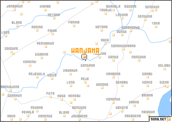
Wanjama (Eastern, Sierra Leone)Wanjama is a town in the Eastern region of Sierra Leone. An overview map of the region around Wanjama is displayed below.
regional and 3d topo map of Wanjama, Sierra Leone ::
Wanjama airports ::
The nearest airport is MLW - Monrovia Spriggs Payne, located 169.9 km south east of Wanjama.
Other airports nearby include ROB - Monrovia Roberts Intl (199.6 km south east), FNA - Freetown Lungi (215.8 km north west), Nearby towns ::
Gondama (1.8km south) //
Yabaima (3.1km east) //
Vawahun (4.4km south west) //
Gbema (4.5km north east) //
Peje (4.7km south) //
Gamayama (5.0km west) //
Gbonima (5.5km south) //
Maka (5.6km north east) //
Gando (6.0km east) //
Leng (6.3km south west) //
Woroma (7.0km south east) //
Kamboma (7.0km south east) //
Woyama (7.5km north east) //
Fanima (8.1km north) //
Menima (8.2km north east) //
Koiva (8.2km south west) //
Gorahun Vaama (8.6km east) //
Herebu (8.8km south) //
Periwahun (9.2km west) //
Faima (9.3km north west) //
Semabu (9.6km south east) //
Wunde (9.7km north east) //
Masa (9.9km south west) //
Futa (11.0km south west) //
[all distances 'as the bird flies' and approximate] 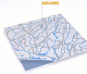 Places with similar names to Wanjama, Sierra Leone ::
// Wanjama (SL)
Disclaimer :: Information on this page comes without warranty of any kind |
||
|
Where is Wanjama? Elevation and coordinates ::
Latitude (lat): 7°37'57"N Longitude (lon): 11°30'16"W
Elevation (approx.): 87m (map arrows pan, magnifying glasses zoom) |
||
|
Visiting Wanjama? Hotel/Accommodation ::
Book a hotel in Wanjama Travel Guide ::
rental cars ::
car rental offers GPS waypoint ::
download a GPX waypoint (PoI) of Wanjama for your GPS receiver
|
||