|
search place name
|
||
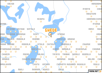
Gwede (Malawi)Gwede is a town in Malawi. An overview map of the region around Gwede is displayed below.
regional and 3d topo map of Gwede, Malawi ::
Gwede airports ::
The nearest airport is LLW - Lilongwe Kamuzu Intl, located 16.3 km south of Gwede.
Other airports nearby include VXC - Lichinga (171.1 km east), MFU - Mfuwe (199.3 km west), Nearby towns ::
Chakhaza (NaNkm north) //
Nyangu (1.8km west) //
Kalonga (2.6km south west) //
Mkulela (2.6km south east) //
Kalumbwi (3.6km west) //
Mwambe (3.6km west) //
Asembe (3.7km south) //
Chipwayila (3.7km south) //
Chitedzi (3.7km south) //
Mtande (3.6km east) //
Kalonga (4.1km south west) //
Kaluwila (4.1km south west) //
Chambwe (4.1km south east) //
Kapicila (4.1km south east) //
Kambalima (5.2km south west) //
Mtsilo (5.2km south west) //
Chingali (5.2km south east) //
Mzati (5.4km west) //
Mkombe (5.4km west) //
Dangalilo (5.7km west) //
Mkombe (5.7km west) //
Makondesa (5.8km south) //
Miange (5.8km south) //
Kazembe (5.8km south) //
Katambo (5.7km east) //
Jumpha (5.7km east) //
Majega (5.7km east) //
Mbacundu (6.6km south west) //
Nchefu (6.6km north west) //
[all distances 'as the bird flies' and approximate] 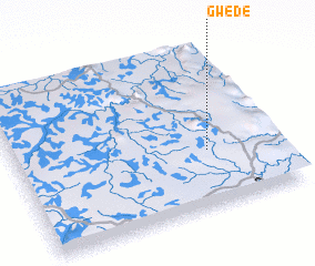 Places with similar names to Gwede, Malawi ::
Disclaimer :: Information on this page comes without warranty of any kind |
||
|
Where is Gwede? Elevation and coordinates ::
Latitude (lat): 13°39'0"S Longitude (lon): 33°44'0"E
Elevation (approx.): 1370m (map arrows pan, magnifying glasses zoom) |
||
|
Visiting Gwede? Hotel/Accommodation ::
Book a hotel in Gwede Travel Guide ::
Buy a travel guide for Malawi rental cars ::
car rental offers GPS waypoint ::
download a GPX waypoint (PoI) of Gwede for your GPS receiver
|
||