|
search place name
|
||
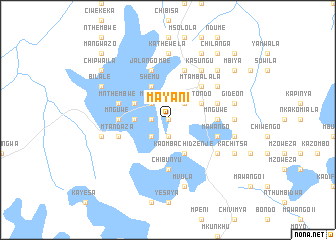
Mayani (Malawi)Mayani is a town in Malawi. An overview map of the region around Mayani is displayed below.
regional and 3d topo map of Mayani, Malawi ::
Mayani airports ::
The nearest airport is LLW - Lilongwe Kamuzu Intl, located 85.9 km south east of Mayani.
Other airports nearby include MFU - Mfuwe (165.2 km west), ZZU - Mzuzu (191.3 km north), VXC - Lichinga (198.0 km east), Nearby towns ::
Mwimba I (0.0km north) //
Mpoto I (1.9km south) //
Lukwa (1.9km south) //
Chiponde (1.8km west) //
Kawaye (1.8km west) //
Matako (2.6km north east) //
Chinyamunyamu (2.6km north west) //
Mwase (2.6km north west) //
Chisambilo (2.6km south west) //
Mphungu (2.6km south west) //
Kayesa (3.6km west) //
Kaninga (4.1km north east) //
Mtondo (4.1km north east) //
Mkhalapadzuwa (4.1km north west) //
Shemu (4.1km north west) //
Chinduwe (4.1km south east) //
Amos Zakocera (4.1km south east) //
Kaombachidzenje (4.1km south east) //
Chipekwe (4.1km south east) //
Mtambalala (5.2km north east) //
Migochi (5.4km east) //
John (5.4km east) //
Mnguwe (5.4km east) //
Mlangali (5.4km east) //
Gumba (5.4km east) //
Chibunyu (5.6km south) //
Mnguwe (5.4km west) //
Kabuluzi (5.7km east) //
Mnthembwe (5.7km west) //
[all distances 'as the bird flies' and approximate] 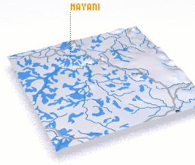 Places with similar names to Mayani, Malawi ::
Disclaimer :: Information on this page comes without warranty of any kind |
||
|
Where is Mayani? Elevation and coordinates ::
Latitude (lat): 13°5'0"S Longitude (lon): 33°27'0"E
Elevation (approx.): 1086m (map arrows pan, magnifying glasses zoom) |
||
|
Visiting Mayani? Hotel/Accommodation ::
Book a hotel in Mayani Travel Guide ::
Buy a travel guide for Malawi rental cars ::
car rental offers GPS waypoint ::
download a GPX waypoint (PoI) of Mayani for your GPS receiver
|
||