|
search place name
|
||
Nkoma (Malawi)Nkoma is a town in Malawi. An overview map of the region around Nkoma is displayed below.
regional and 3d topo map of Nkoma, Malawi ::

Nkoma airports ::
The nearest airport is LLW - Lilongwe Kamuzu Intl, located 69.7 km south east of Nkoma.
Other airports nearby include MFU - Mfuwe (139.8 km west), Nearby towns ::
Bikivai (0.0km north) //
Chiruwe (1.9km south) //
Chikoti (1.9km south) //
Panye (1.9km south) //
Chitedzi (1.8km west) //
Mkomachilolo (2.6km north east) //
Chiponda (2.6km north east) //
Kwaroza (3.7km south) //
Chifomboti (5.2km south east) //
Katobwa (5.2km south west) //
Nthema (5.2km south west) //
Chikungu (5.2km north east) //
Cikoti (5.2km north east) //
Madzi (5.2km north west) //
Mkumbi (5.7km west) //
Kakungwa (6.6km south west) //
Tsekwe (6.6km north west) //
Kasande (7.4km south) //
Nkungura (8.1km south west) //
Chipezi (9.1km south east) //
Chatanga (9.2km north west) //
Kamphambale (10.3km south east) //
[all distances 'as the bird flies' and approximate] 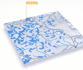 Places with similar names to Nkoma, Malawi ::
Disclaimer :: Information on this page comes without warranty of any kind |
||
|
Where is Nkoma? Elevation and coordinates ::
Latitude (lat): 13°31'0"S Longitude (lon): 33°12'0"E
Elevation (approx.): 1118m (map arrows pan, magnifying glasses zoom) |
||
|
Visiting Nkoma? Hotel/Accommodation ::
Book a hotel in Nkoma Travel Guide ::
Buy a travel guide for Malawi rental cars ::
car rental offers GPS waypoint ::
download a GPX waypoint (PoI) of Nkoma for your GPS receiver
|
||