|
search place name
|
||
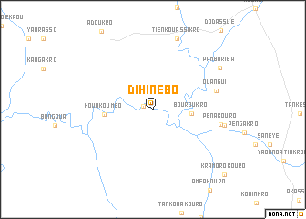
Dihinébo (Cote d'Ivoire)Dihinébo is a town in Cote d'Ivoire. An overview map of the region around Dihinébo is displayed below.
regional and 3d topo map of Dihinébo, Cote d'Ivoire ::
Dihinébo airports ::
The nearest airport is NYI - Sunyani, located 114.1 km east of Dihinébo.
Other airports nearby include BYK - Bouake (193.5 km west), Nearby towns ::
Dakro (1.2km west) //
Bouroukro (4.7km east) //
Kouakoumbo (6.0km west) //
Ouangui (8.0km east) //
Pénakouro (8.4km east) //
Assempanayé (8.9km east) //
Tienkouassikro (9.2km north) //
Pambariba (9.6km north east) //
Kramorokouro (11.9km south east) //
[all distances 'as the bird flies' and approximate] 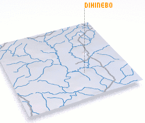 Places with similar names to Dihinébo, Cote d'Ivoire ::
// Dahaneh Bāghī (IR)
// Deh-e Nāb (IR)
// Dhunaybah (SY)
// Dhanabo (SO)
// Ţaḩāʼ Nūb (EG)
// Ðại Hanh (1) (VN)
// Dhanab (YE)
// Dhanabah (YE)
Disclaimer :: Information on this page comes without warranty of any kind |
||
|
Where is Dihinébo? Elevation and coordinates ::
Latitude (lat): 7°21'20"N Longitude (lon): 3°21'45"W
Elevation (approx.): 151m (map arrows pan, magnifying glasses zoom) |
||
|
Visiting Dihinébo? Hotel/Accommodation ::
Book a hotel in Dihinébo Travel Guide ::
rental cars ::
car rental offers GPS waypoint ::
download a GPX waypoint (PoI) of Dihinébo for your GPS receiver
|
||