|
search place name
|
||
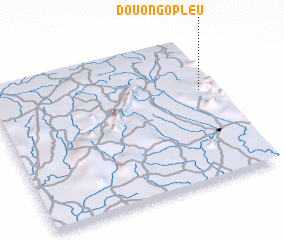
Douongopleu (Cote d'Ivoire)Douongopleu is a town in Cote d'Ivoire. An overview map of the region around Douongopleu is displayed below.
regional and 3d topo map of Douongopleu, Cote d'Ivoire ::

Douongopleu airports ::
The nearest airport is MJC - Man, located 66.3 km south east of Douongopleu.
Other airports nearby include DJO - Daloa (199.0 km south east), Nearby towns ::
 Places with similar names to Douongopleu, Cote d'Ivoire ::
// Taungpalu (MM)
// Taungpila (MM)
// Taungpila (MM)
// Taungpila (MM)
// Taungpila (MM)
// Taungpila (MM)
// Taungpila (MM)
// Tángapella (BF)
// Diane-Capelle (FR)
// Tung-pei-li (TW)
Disclaimer :: Information on this page comes without warranty of any kind |
||
|
Where is Douongopleu? Elevation and coordinates ::
Latitude (lat): 7°38'14"N Longitude (lon): 8°3'50"W
Elevation (approx.): 562m (map arrows pan, magnifying glasses zoom) |
||
|
Visiting Douongopleu? Hotel/Accommodation ::
Book a hotel in Douongopleu Travel Guide ::
rental cars ::
car rental offers GPS waypoint ::
download a GPX waypoint (PoI) of Douongopleu for your GPS receiver
|
||