|
search place name
|
||
Gueya (Cote d'Ivoire)Gueya is a town in Cote d'Ivoire. An overview map of the region around Gueya is displayed below.
regional and 3d topo map of Gueya, Cote d'Ivoire ::

Gueya airports ::
The nearest airport is MJC - Man, located 128.4 km north east of Gueya.
Other airports nearby include ROB - Monrovia Roberts Intl (210.5 km west), SPY - San Pedro (282.5 km south east), Nearby towns ::
Tiébli (2.0km west) //
Zoguine (2.1km north east) //
Klobli (4.0km south west) //
Tiébélébli (4.9km north) //
Basobli (6.2km west) //
Kahibli (6.2km west) //
Seibli (6.7km south east) //
Tliapie (7.4km south) //
Péhé-Kanhouébli (7.4km south) //
Gueyédé (7.4km west) //
Seizaïbli (7.4km north east) //
Douelli (7.5km north) //
Ourialé (7.6km north) //
Kpabli (7.6km north) //
Klaon (8.1km north west) //
Kambli (8.2km south east) //
Toulépleu-Gueré (8.2km north east) //
Sebli (8.7km north east) //
Diobli (8.9km north west) //
Zamu (9.0km south west) //
Toulépleu (9.5km north east) //
Duoble (9.9km north west) //
Quiapiple (10.0km north west) //
Bakoubli (11.0km south east) //
[all distances 'as the bird flies' and approximate] 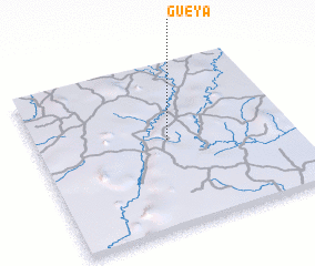 Places with similar names to Gueya, Cote d'Ivoire ::
Disclaimer :: Information on this page comes without warranty of any kind |
||
|
Where is Gueya? Elevation and coordinates ::
Latitude (lat): 6°32'0"N Longitude (lon): 8°29'0"W
Elevation (approx.): 261m (map arrows pan, magnifying glasses zoom) |
||
|
Visiting Gueya? Hotel/Accommodation ::
Book a hotel in Gueya Travel Guide ::
rental cars ::
car rental offers GPS waypoint ::
download a GPX waypoint (PoI) of Gueya for your GPS receiver
|
||