|
search place name
|
||
Kaala (Cote d'Ivoire)Kaala is a town in Cote d'Ivoire. An overview map of the region around Kaala is displayed below.
regional and 3d topo map of Kaala, Cote d'Ivoire ::

Kaala airports ::
The nearest airport is MJC - Man, located 188.5 km south of Kaala.
Nearby towns ::
Késéso (4.1km north west) //
Soba (4.1km south west) //
Sokbinnikoro (5.2km south west) //
Silakoro (5.2km south east) //
Moanbaso (5.5km north) //
Ségouen (5.9km south) //
Tounzi (5.8km east) //
Ouro-Senkoro (5.8km west) //
Barala (5.8km west) //
Blandougou (6.5km north west) //
Modougou (7.6km west) //
Boédougou (7.8km south west) //
Bagbaso (8.2km north west) //
Néendougou (9.2km north west) //
Kèsianko (9.2km south west) //
Bomankoro (9.2km north west) //
Tamandougou (10.4km south east) //
Mahadougou (11.4km north west) //
[all distances 'as the bird flies' and approximate] 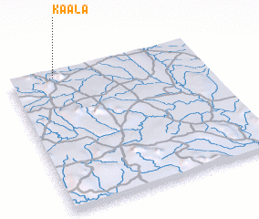 Places with similar names to Kaala, Cote d'Ivoire ::
Disclaimer :: Information on this page comes without warranty of any kind |
||
|
Where is Kaala? Elevation and coordinates ::
Latitude (lat): 8°58'0"N Longitude (lon): 7°46'0"W
Elevation (approx.): 464m (map arrows pan, magnifying glasses zoom) |
||
|
Visiting Kaala? Hotel/Accommodation ::
Book a hotel in Kaala Travel Guide ::
rental cars ::
car rental offers GPS waypoint ::
download a GPX waypoint (PoI) of Kaala for your GPS receiver
|
||