|
search place name
|
||
Mémadougou (Cote d'Ivoire)Mémadougou is a town in Cote d'Ivoire. An overview map of the region around Mémadougou is displayed below.
regional and 3d topo map of Mémadougou, Cote d'Ivoire ::

Mémadougou airports ::
The nearest airport is MJC - Man, located 173.8 km south of Mémadougou.
Nearby towns ::
Konéla (1.8km west) //
Foufoukoro (1.9km north) //
Dyabisédougou (2.6km south west) //
Baradougou (2.6km north west) //
Toranou (3.7km west) //
Banandougou (4.1km south west) //
Konzadougou (4.1km north west) //
Orosaniso (4.1km south east) //
Yengélé (4.1km north east) //
Niamandougou (5.2km north east) //
Bouko (5.9km north) //
Dougbé (5.9km north) //
Banasédougou (6.7km south east) //
Farako (6.7km north east) //
Miéfano (6.7km north east) //
Tyenlo (7.8km south east) //
Borodougou (9.2km south west) //
Kèsianko (9.2km north west) //
Blamadougou (10.4km south east) //
Tamandougou (10.4km north east) //
[all distances 'as the bird flies' and approximate] 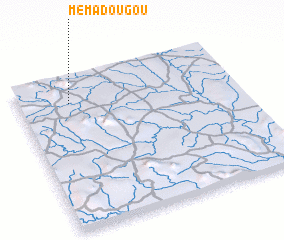 Places with similar names to Mémadougou, Cote d'Ivoire ::
// Mahmutköy (TR)
// Mamatoco (CO)
// Maḩmūd Kāghī (IR)
// Maḩmūd Kīā (IR)
// Maméadougou (CI)
// Mamidougou (CI)
// Mamidougou (CI)
Disclaimer :: Information on this page comes without warranty of any kind |
||
|
Where is Mémadougou? Elevation and coordinates ::
Latitude (lat): 8°50'0"N Longitude (lon): 7°46'0"W
Elevation (approx.): 470m (map arrows pan, magnifying glasses zoom) |
||
|
Visiting Mémadougou? Hotel/Accommodation ::
Book a hotel in Mémadougou Travel Guide ::
rental cars ::
car rental offers GPS waypoint ::
download a GPX waypoint (PoI) of Mémadougou for your GPS receiver
|
||